
Biasca – Lucomagno
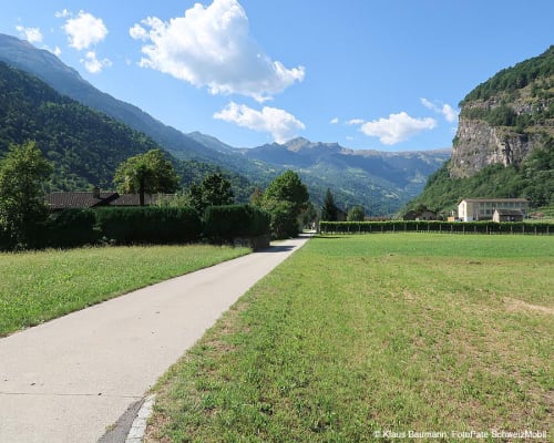
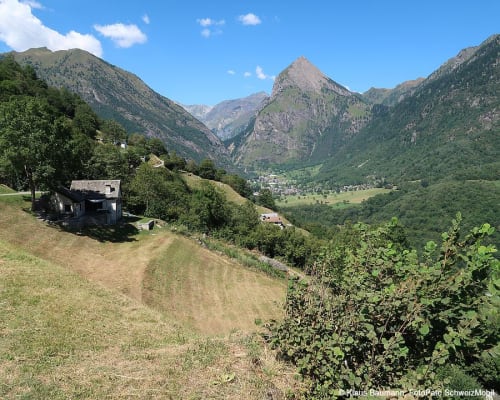
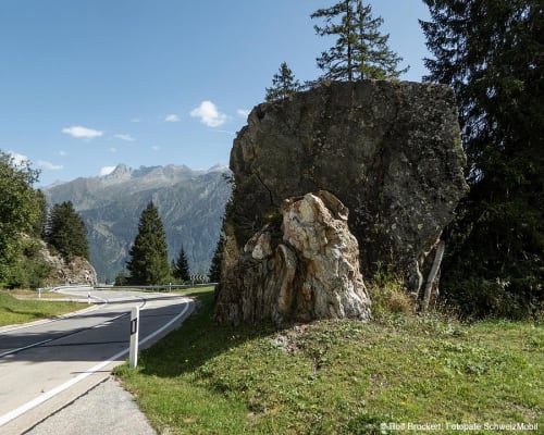
Through the sunny Blenio Valley to the Lukmanier Pass, a cycle route through one of Switzerland's most beautiful mountain pass landscapes.
Details
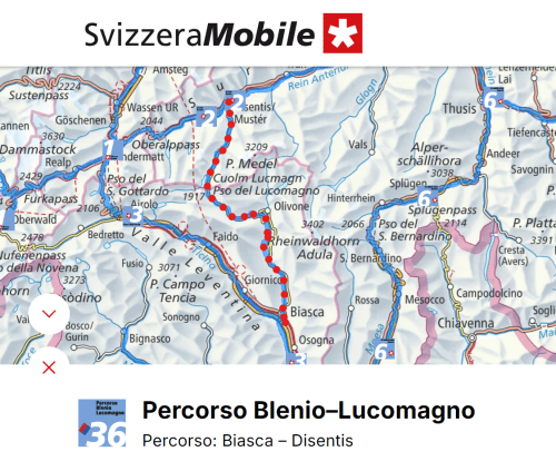
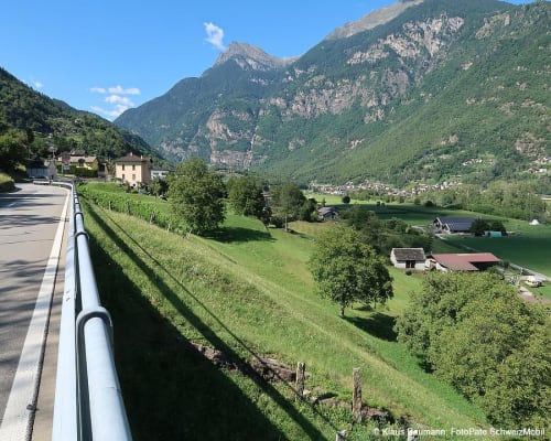
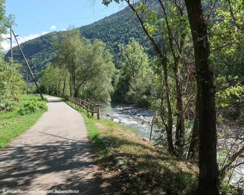
The starting point is Biasca, the centre of the Ambrosian valleys of Leventina, Riviera and Blenio. Extensive chestnut woods cover the lower slopes of the Brenno valley; chestnuts, once considered a ‘fruit of the poor’, are now often left on the ground. Emperor Barbarossa stopped at Serravalle Castle, before Ludiano, and the ruins still bear witness to his power.
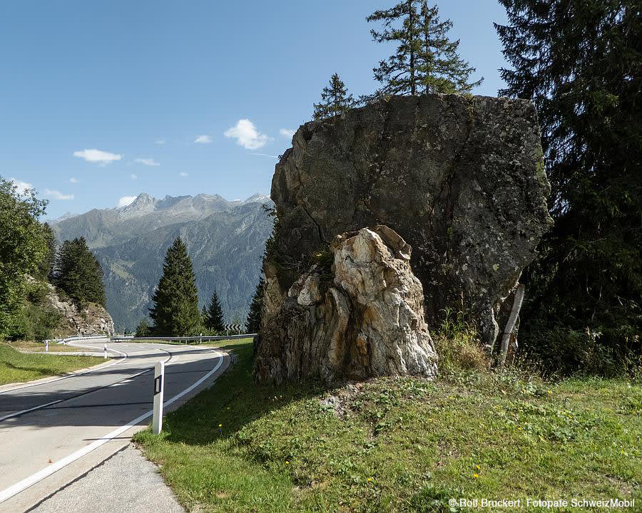
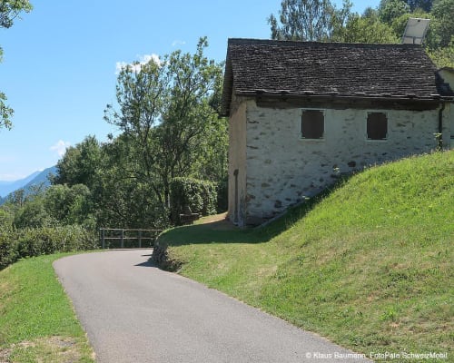
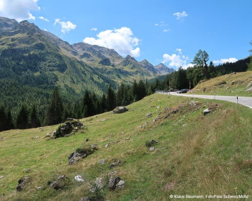
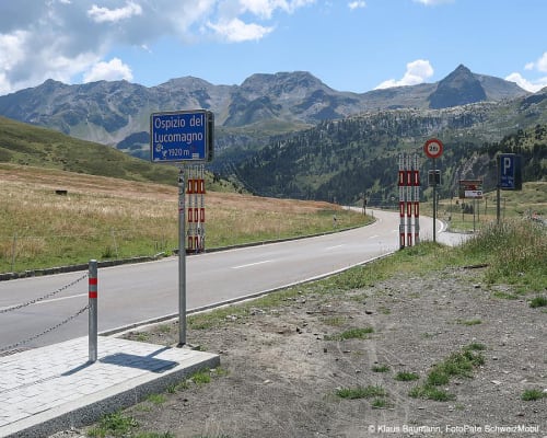
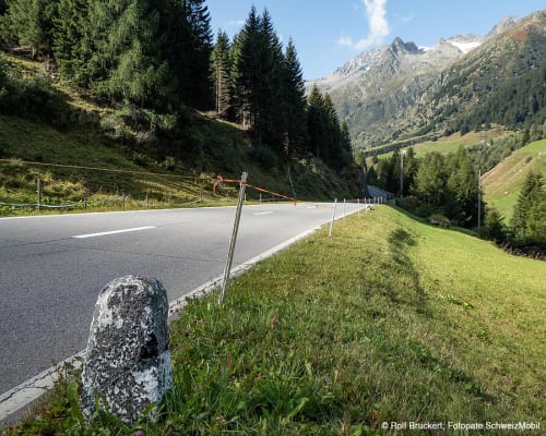
In the sun-drenched valley, agriculture is practised on terraces. High up, in an isolated position on an alpine pasture, stands one of the most impressive Romanesque buildings in Ticino, San Carlo di Negrentino, with its magnificent frescoes. Butterflies accompany us on the climb as the landscape changes; in the peaceful alpine valley of Santa Maria, the fir trees smell of resin and the ringing of cowbells follows cyclists to the Lucomagno Pass on the border with the canton of Grisons.
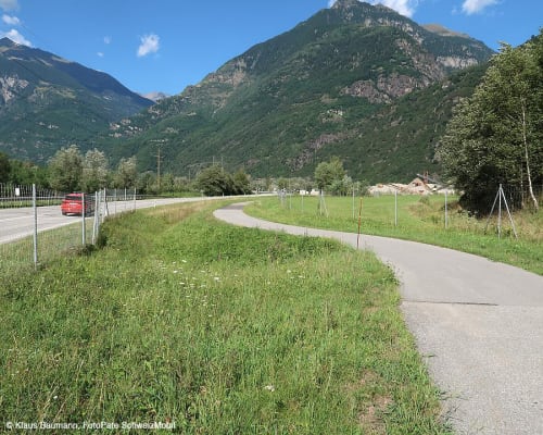
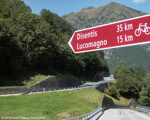
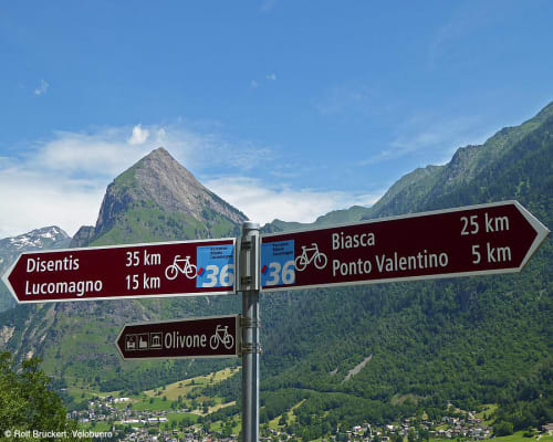
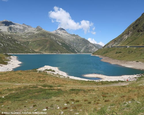
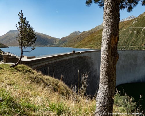
The route follows cycle route no. 36 and at several points deviates from the road onto cycle paths. It is possible to cross the border into the canton of Grisons and reach Disentis: after passing the Lucomagno Pass, you ride alongside the artificial lake in Val Medel, among fragrant rhododendrons, dark wooden houses and the roar of the water in the Höllenschlucht gorge, which accompany you to Disentis. The entire route to this point is 59 km long and can be divided into two stages with a stop in Camperio, a village in the municipality of Olivone.
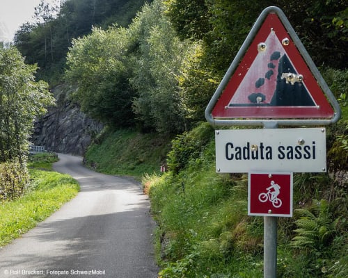
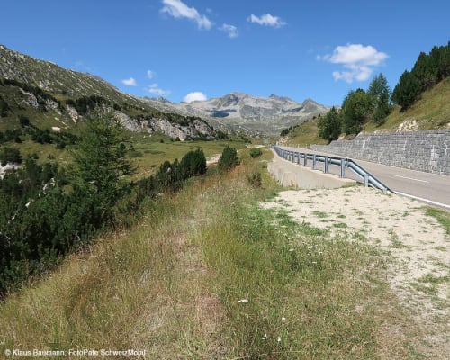
The route requires a good level of fitness. It is also possible to cycle only some sections of the entire route. The section between Olivone and the Grisons border is the hardest uphill section but also the most scenic and is 19 km long.
Route length
Biasca - Disentis: 59 km
Roads and trails
- Asphalt: 59 km
- Natural surface: 0 km
Elevation
- 1,850 m uphill
- 1,050 m downhill
Altitude
- Maximum: 1,972 m
- Minimum: 289 m
Stage 1: Biasca - Olivone (Camperio)
- Route length: 27 km
- Elevation gain: 1050 m
- Elevation loss: 110 m
Stage 2: Olivone (Camperio) - Disentis
- Route length: 32km
- Elevation gain: 800m
- Elevation loss: 900m
More information
Location


Other details
In partnership with:


