
Canyon Progero
One of the most spectacular canyons in the Bellinzona area, featuring long abseils, waterfalls and crystal-clear pools
Details
The Riale Progero, also known as the Riale delle Palme, is one of the most popular canyoning routes in Ticino. This guide focuses on its lower section, where the canyon flows through a narrow gorge carved into the rock, alternating between waterfalls, smooth rock faces, pools of crystal-clear water and technical sections that make it a much-loved destination for canyoning enthusiasts.
The route is classified as V4 A4 II, a medium-to-high difficulty level requiring either considerable experience or the presence of a qualified guide. It includes 10 abseils, with an initial waterfall of around 45 metres – considered one of the most spectacular sections of the canyon – and a second abseil of around 30 metres in a particularly enclosed setting. There are also a few small natural slides, a jump and several sections to be covered in the water.
The approach takes around 35 minutes on foot, whilst the descent takes an average of 3 hours 20 minutes, plus around 10 minutes for the return journey. The entire experience therefore takes just over 4 hours.
The canyon is generally accessible from May to October, preferably during the middle of the day due to its southerly exposure.
Before each descent, it is essential to carefully check the stream’s flow rate: some abseils take place directly in the water’s flow and, following heavy rain or storms, the route can become very dangerous.
Technical guides recommend checking the water level at the Gudo bridge before entering the canyon.
The canyon is not suitable for beginners wishing to tackle it independently. It is recommended exclusively for experienced canyoners or for those taking part in an organised trip with professional guides. Knowledge of rope-based progression techniques, self-rescue and the assessment of hydrological conditions is essential for tackling the route safely.
The recommended starting point is the public car park situated below Gudo Town Hall and the school. From here, cross the bridge over the Riale Progero and continue uphill along Via In Cimalloco. At the junction, keep left, following the sign for ‘Al Sasso Grande’; a little further on, on the right, there is a second small car park. The hiking trail begins immediately afterwards. Follow the route marked by blue arrow signposts and the wave symbol, turning left twice until you reach the bridge crossing the stream, which is the entrance to the lower canyon.
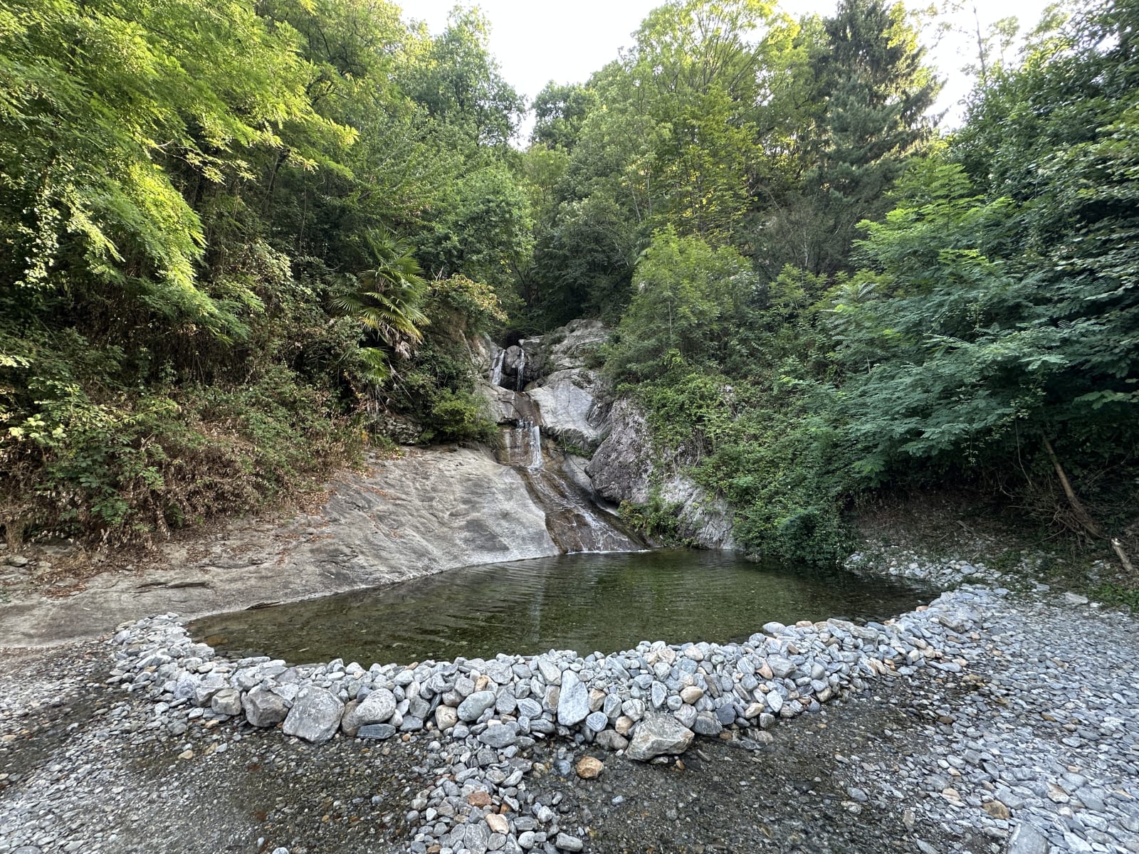
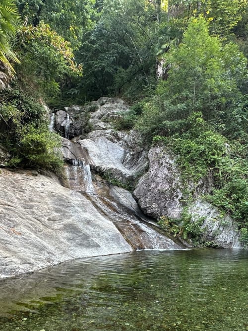
The descent ends at the picturesque Pozza del Riale Progero, one of the area’s best-known swimming spots during the summer.
At the end of the route, exit to the right (as you face the mountain) after the final slide, following the path that runs alongside private property to a small bridge. After crossing it, you’ll reach Via Cantonale and return to the car park by following the road to the left. The return journey takes about 10 minutes.
Halfway through the canyon, there is also an escape route which, by crossing the stream, allows you to rejoin the approach path.
Technical details
Difficulty: V4 A4 II
Recommended period: May – October
Recommended time: 10:00 – 15:00
Approach: 35 mins
Descent: 3h20Return: 10 minsTotal time: approx. 4h05Elevation gain: 190mCanyon length: 400mNumber of abseils: 10Maximum abseil: 45mRecommended ropes: 2×50mOrientation: south
Useful coordinates
Coordinates of the flow rate monitoring point (Via Malcarne Bridge): 46.1745, 8.9399
Canyon entrance: 46.1796, 8.94377
Canyon exit: 46.1758, 8.9419
In evidence
Location


Other details
Warnings:
Canyoning:


