
Isone MTB
Discovering the mountains surrounding the Isone Valley, a little-known area that deserves to be visited
Details
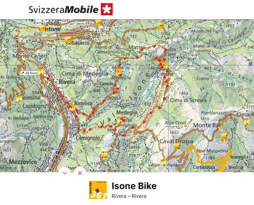
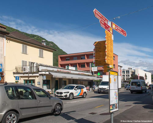
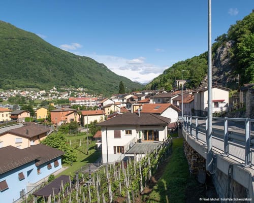
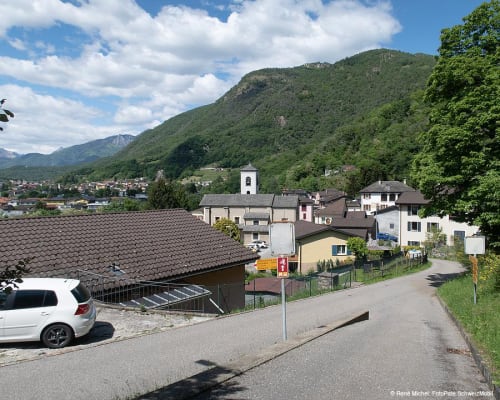
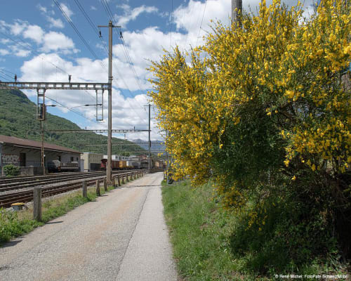
The route starts at the Rivera railway station. From Rivera to Camignolo, passing through the centre of Bironico, you cross an inhabited area where the road surface is almost completely asphalted and the route consists of a slight ascent followed by an equally slight descent.
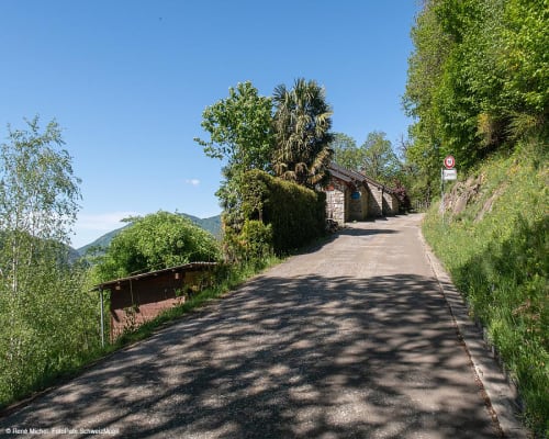
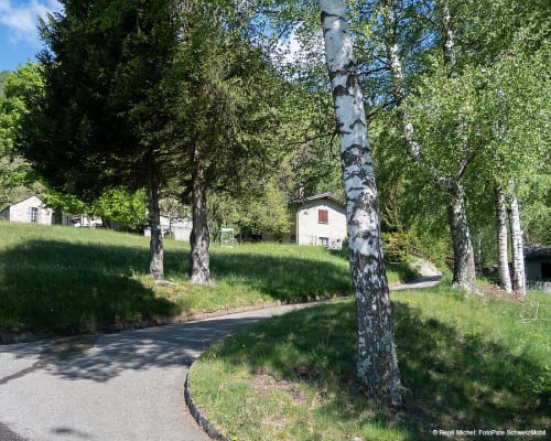
The trip to Muricce, above Isone, is all on easy roads. After passing through the centre of Bironico, the climb begins along the main road towards Val d'Isone. Before Medeglia, turn left onto a second class road, then a third class road, both of which are paved and partly through the woods. This last road leads to the Monti di Medeglia, a flat area with many cottages that invite you to stop. Continue uphill and, at the junction with the Cima di Medeglia, proceed along a flat dirt road to Cima di Fuori, from where the descent to Isone begins, on an asphalt road.
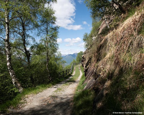
Consider extending the hike, signposted as a hiking trail, by continuing along a fascinating panoramic dirt road that culminates at Cima di Medeglia. It's 1.7 km with an altitude difference of 180 metres, amply rewarded by the 360° panorama!
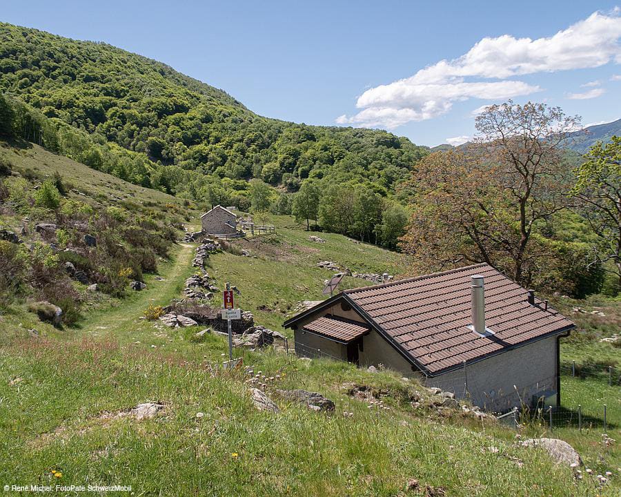
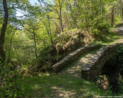
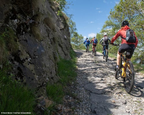
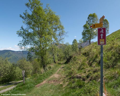
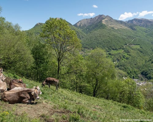
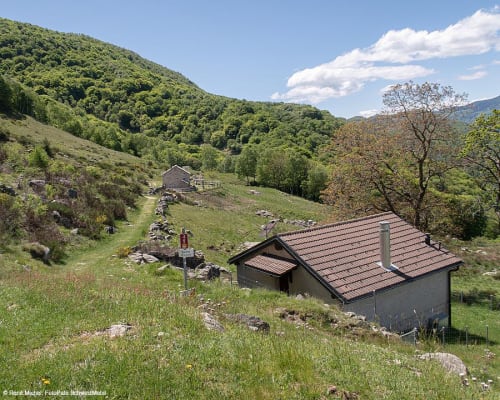
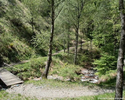
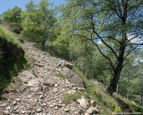
Then from Isone you climb up to Muricce where, halfway along the road, there's an inviting and hospitable little cave that's open seasonally. From Muricce you continue along a single trail immersed in the vegetation and you reach the Alpe Zalto farmhouse that offers refreshments and accommodation in an original way. Shortly after you'll arrive at Gola di Lago, a fascinating peat bog located in an idyllic area. At Alpe Santa Maria you'll find various species of farm animals and, if it's open, you can also eat there. From here you'll arrive at Busio on a dirt road that then becomes a single trail in the woods that leads to Camignolo from where you can easily return to Rivera.
The route is also suitable for trail running.
Itinerary
- Rivera
- Bironico
- Camignolo
- Monti di Medeglia
- Cima di Fuori
- Isone
- Muricce
- Gola di Lago
- Camignolo
- Bironico
- Rivera
Route length
- 27km
Roads and Trails
- Asphalt - 18km
- Natural Paving - 5km
- Single Trail - 4km
Difference in altitude
- 1100m uphill
- 1100m downhill
Altitude
- Maximum 1101m
- Minimum 449m
More information
Location


Other details
Electric mobility:
In partnership with:


