
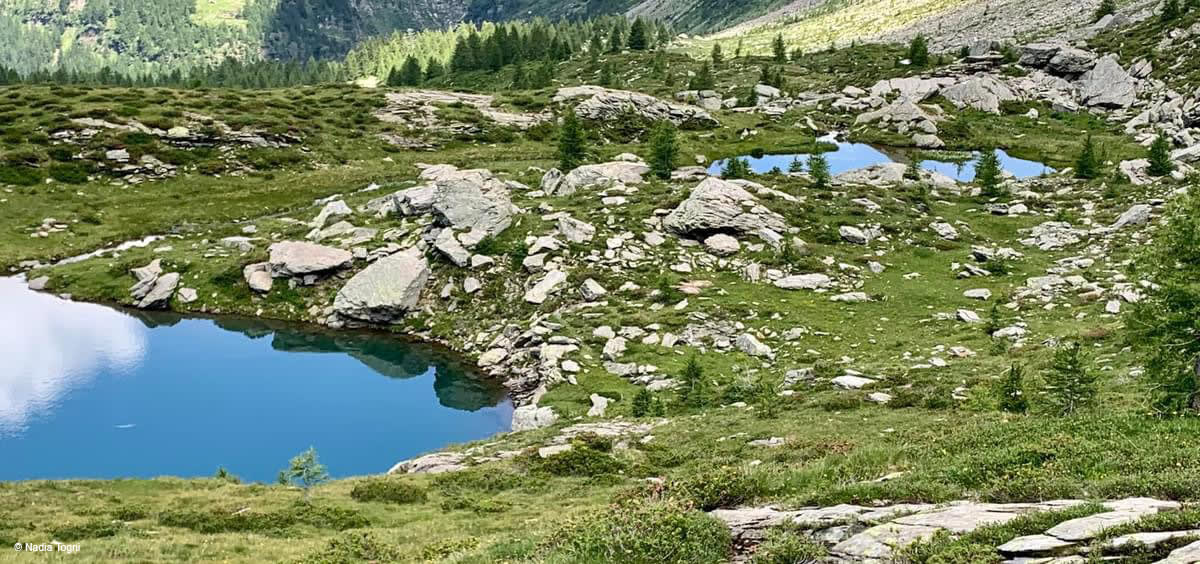
Lake of Cava
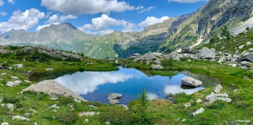
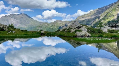
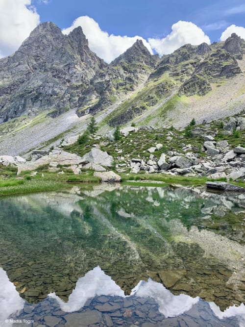
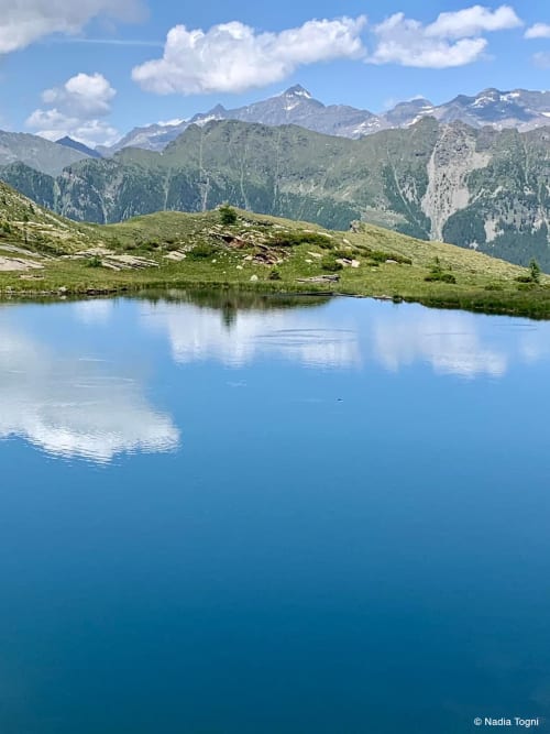
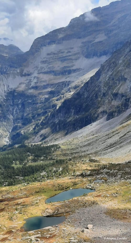
Two small lakes with a typical mountain appearance in Val Pontirone
Details
The trail to the Cava lakes starts from Biborgh in Val Pontirone, which can be reached from Malvaglia. Immediately after the Sceng bridge, turn left to reach Alpe di Cava (2005m) and then the lakes in about 3 hours of walking, covering a difference in altitude of 891m.
The two lakes differ from each other not only in size but also in shape: Cava basso (2051m) is more elongated than Cava alto (2107m) which appears more circular.
The best time to visit them is from June to September.
The Alpe Cava hut is also located at the Alpe Cava.
Not far from the Cava lakes there is also the Alpe di Lago lake (2089 m).
Itinerary
Biborgh (1313 m)
Pont Sceng (1216)
Alpe di Sceng (1548 m)
Alpe di Cava (2005 m)
Laghetti di Cava (2051 and 2107 m)
Alternative
It is also possible to reach the two lakes directly from Biasca in a 5-hour walk, passing through Svallo or Forcarella di Lago. Via Svallo, you can drive past Monte Sasso Carnone (533m), and then continue on foot; while via Forcarella di Lago, you can drive as far as Monte Fraccione (600m). These two alternative routes, however, have some quite challenging stretches for hikers.
Fish
In the Cava lakes, trout have been introduced and Arctic char, which are subject to dwarfism, reproduce spontaneously.
Location


Other details
Warnings:


