
Lake Canee
Challenging hike along the path to Pizzo di Claro
Details
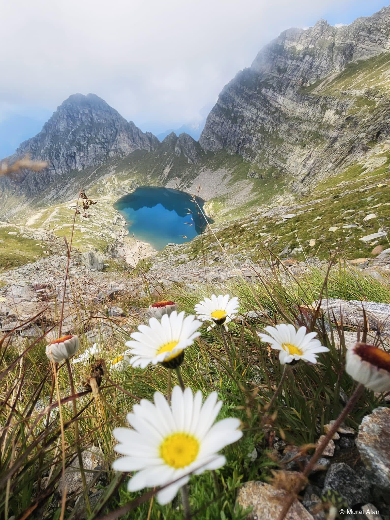
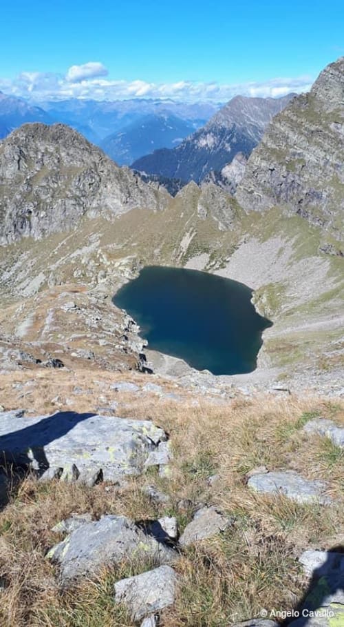
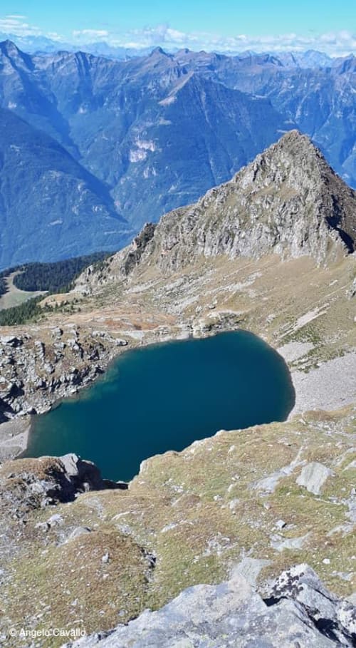
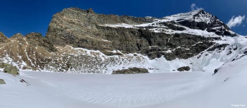
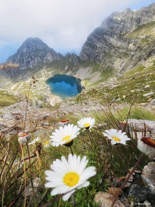
Contained in a rocky basin below Pizzo di Claro, the Canee lake is oval in shape and gives the observer a feeling of abysmal depth. In reality, the maximum depth of this pond is 23m, but the steepness with which the bottom descends creates the false illusion of a chasm.
Also known as Lake Visagno, it has been the subject of myths and legends in the past: for example, the legend that on windy or stormy days it is possible to see the hands of a castellan who was thrown into the depths of the lake as punishment for having accidentally killed his mother-in-law, blinded by jealousy.
The hike to the Canee lake is a demanding one with many steep sections and a large difference in altitude, suitable only for experienced and trained hikers and mountaineers.
The starting point is Censo, a hamlet of Claro. From here, the route starts towards Alpe Peurett, passing Moncrino North and Bens. It then continues to Alpe Canee and finally reaches the small lake of Canee (2198m). The itinerary takes just over 4 hours, overcoming an altitude difference of 1427m.
Censo can be reached by car thanks to the patrician road and offers parking for about 50 cars. From Claro, you have to climb the narrow streets of the village until you find the road to the Claro Sanctuary. You will then come to a barrier where you will be asked to pay a toll of 10CHF (payment with coins at the machine next to the barrier). Past the barrier, walk up to the end of the road, ignoring the first turnoff on the right to the Santa Maria monastery, in the direction of Maruso.
The recommended period for this hike is from June to October.
Along the way, refreshments can be found at three unattended and permanently open huts, converted from old cottages: the Peurett Hut (1745m), the Garerescio Hut (1783m) and the Provei Hut (1322m).
From the Canee lake, it is possible to reach Pizzo di Claro (South summit, 2720m) in about 1h30.
Itinerary
- Censo (771m)
- Moncrino North (808m)
- Bens (1174m)
- Alpe Peurett (1745m)
- Alpe Canee (1995m)
- Canee Lake (2198m)
Alternative
The Canee Lake can also be reached from Claro, precisely from the municipal house. From here, follow the signs on foot. This route takes 5h 45 minutes, overcoming an altitude difference of 1902m in total.
Fishiness
The small lake of Canee is populated by trout (released at the end of the 1990s).
In evidence
Location


Other details
Warnings:


