
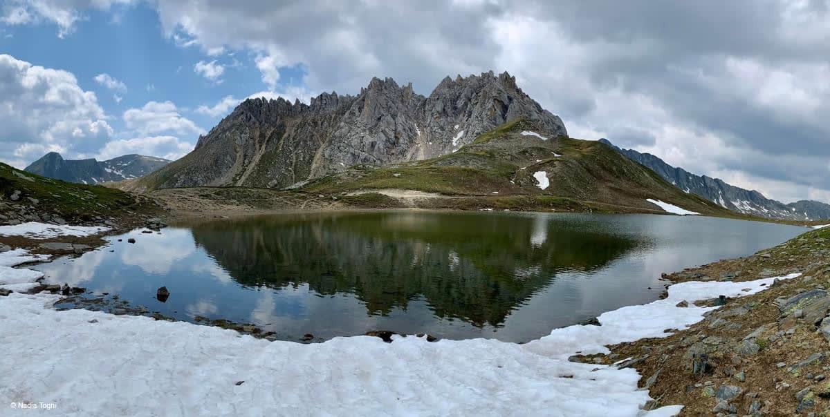
Lake of Campanitt
Third of the three alpine lakes on the tour: Passo dell'Uomo and Passo delle Colombe
Details
From the Santa Maria Hospice (1914 m), on the Lukmanier Pass, a path leads to three magnificent alpine lakes: Lake Scai (2300m), Lake Segna (2191m) and Lake Campanitt (2377m).
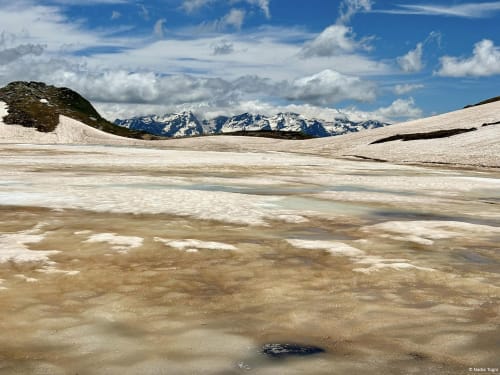
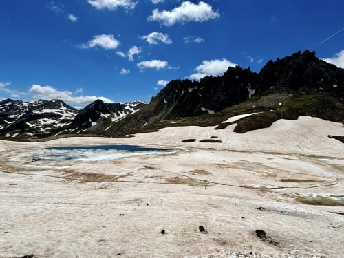
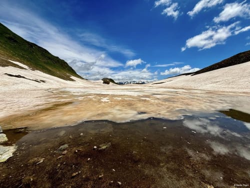
After reaching Lake Scai, you pass the Passo dell'Uomo and reach Lake Segna. From here you continue through the Piano dei Porci (2210m) and reach Lake Campanitt (2377m), located just below Pizzo Colombe or Campanitt, from which the lake and the pass take their name.
Looking west you can admire the Val Piora and in the distance the famous peaks of the Bernese Oberland. To the east is the Passo delle Colombe (2381m), from where the descent to the Ospizio di Santa Maria begins.
The first part of the descent is quite steep and leads to Piano dei Canali (2087m). Continue the descent through larch and Swiss stone pine trees to Alpe Gana (1814m), then follow a flat area to Alpe Casaccia (1820m) and then along a dirt road to Pertusio (1885m). From here you can reach the starting point.
The tour of all three lakes takes about 5 hours. The hike is long but not particularly difficult. It is therefore also suitable for children who are used to walking a lot and for dogs.
The Santa Maria Hospice can be reached by car and offers parking on its forecourt.
From mid-June to mid-October, it is also possible to reach Santa Maria by post bus from Olivone, which in turn can be reached from Biasca by the Bleniesi bus company.
The recommended period for this excursion is from June to September.
Itinerary
- Ospizio di Santa Maria (1915m)
- Lake Scai (2300m)
- Uomo Pass (2218m)
- Segna Lake (2190m)
- Piano dei Porci (2210m)
- Campanitt Lake and Colombe Pass (2381m)
- Piano dei Canali (2087m)
- Gana Alp (1814m)
- Casaccia Alp (1820m)
- Pertusio (1885m)
- Ospizio di Santa Maria (1915m)
In evidence
Location


Other details
Warnings:


