
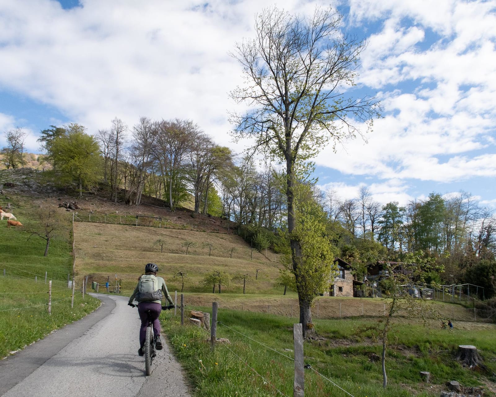
Miglieglia – Ponte Tresa
From the trails of Monte Lema to the gentle descent through vineyards and villages down to Lake Lugano
Details
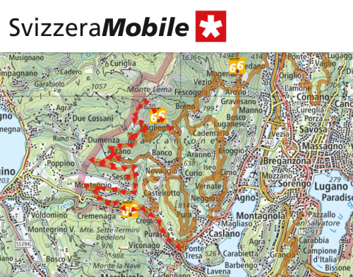
The Miglieglia–Ponte Tresa route is a smooth, scenic stretch that crosses the lower Malcantone region, linking the mountains to the lake through a continuous succession of natural and rural landscapes.
The route starts in Miglieglia, at the foot of Monte Lema, with the option of taking the cable car up to higher ground to enjoy, right from the start, a sweeping panorama encompassing Lake Maggiore and Lake Lugano. From here begins one of the most spectacular trails in the area, which gradually leads into a gentler, hilly landscape.
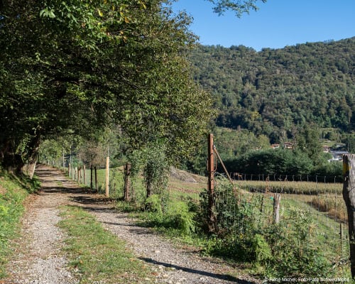
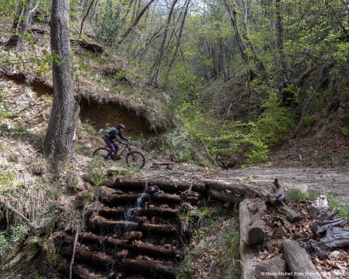
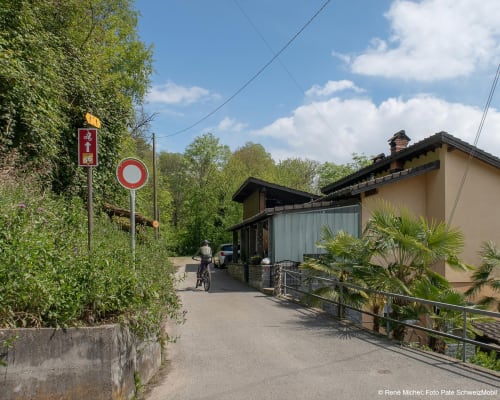
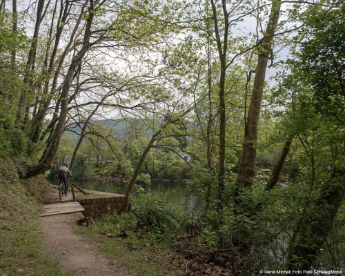
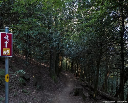
The route initially winds through woods and paths surrounded by nature, passing through ancient chestnut groves and shaded sections that make for a pleasant ride even on the hottest days. Gradually, the terrain becomes more open and varied, alternating between flowing single tracks and dirt roads winding through meadows and small villages, always maintaining a smooth pace that is never too technical.
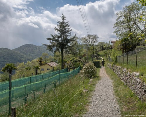
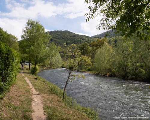
As you enter the heart of Malcantone, the landscape is enriched with elements typical of the region, such as vineyards, birch woods and picturesque villages encountered along the route. The atmosphere becomes increasingly Mediterranean and relaxed, accompanying the descent towards the valley with a sense of the landscape gradually opening up.
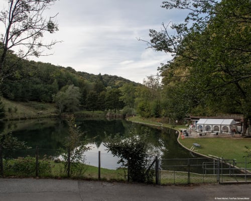
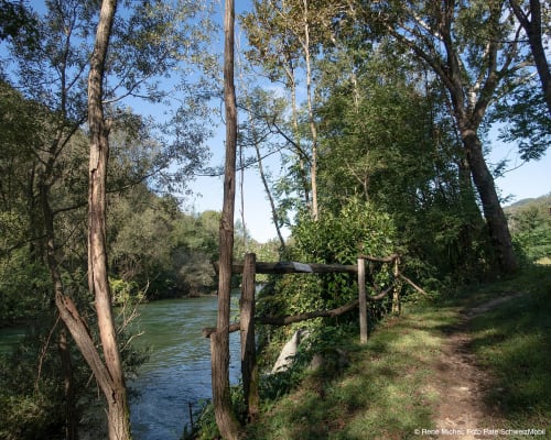
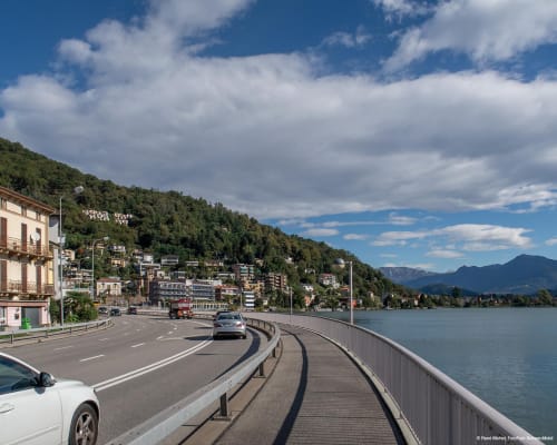
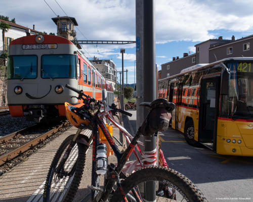
The arrival in Ponte Tresa, on the shores of Lake Lugano, marks the ideal conclusion to the route, offering the chance to stop and relax right by the water after the ride.
This route forms part of the wider Traversata dei Monti Luganesi, a grand tour that crosses the entire region through lakes, mountains and mountain pastures, extending as far as Malcantone. It is a stage which, whilst less demanding than others on the grand tour, offers great scenic variety and a rewarding finish, perfect for rounding off an itinerary through mountains, woods and hills in style.
Parking is available at the Monte Lema cable car station, where there are also toilets.
Route
- Miglieglia
- Monte Faeta Pass/Forcola
- Astano
- Beredino
- Sessa
- End
- Ponte Cremenaga
- Ponte Tresa
Route length
- 28km
Roads and trails
- Asphalt - 7km
- Natural surface - 9km
- Single track - 12km
Elevation gain
- 420m uphill
- 1700m downhill
Altitude
- Maximum 1560m
- Minimum 261m
Further information
In evidence
Location


Other details
Warnings:
In partnership with:


