
Monte San Salvatore
Explore one of the most spectacular scenic spots in Ticino
Details
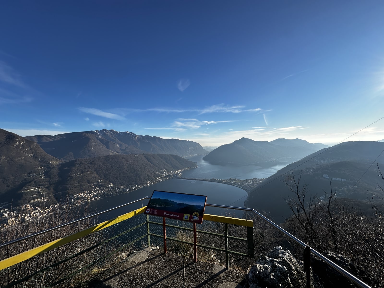
Monte San Salvatore is one of the most iconic mountains in the Lugano area and one of the most popular destinations for excursions in the region thanks to its numerous panoramic viewpoints.
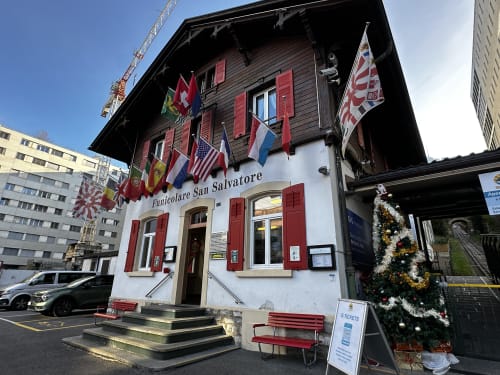
Its summit, at an altitude of 912 metres, is easily accessible by funicular railway from Paradiso, with parking available at the departure station. The funicular reaches the summit in about 10–12 minutes, with frequent departures throughout the day, especially in the summer months and during holidays. This option allows you to focus on exploring the summit and then descending on foot. Alternatively, you can walk up, but the path is steep and challenging, not recommended for inexperienced hikers.
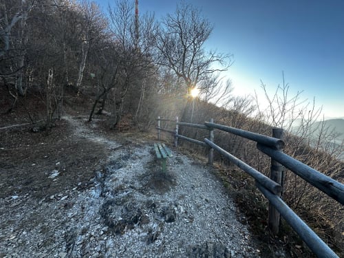
Thanks to its relatively low altitude and access by funicular railway, Monte San Salvatore is also worth visiting in winter, especially on clear days, when the crisp air offers particularly wide views. During this season, you can reach the summit and enjoy the viewpoints, paying attention to the conditions of the terrain on the paths, which may be slippery or snow-covered.
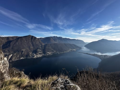
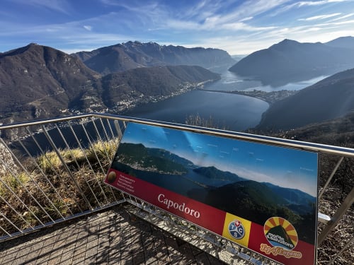
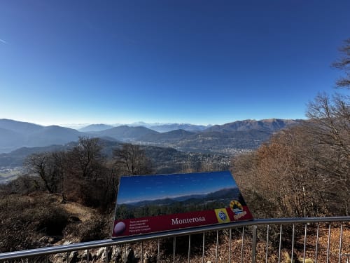
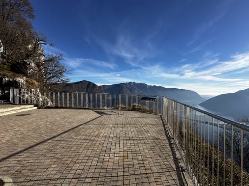
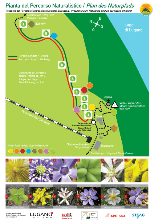
There are several viewpoints at the summit, including an extraordinary viewpoint with a 360° view of Lake Ceresio, the Alps as far as Monte Rosa and, on clear days, the Po Valley. Other viewpoints are located a little lower down, for a total of eight.
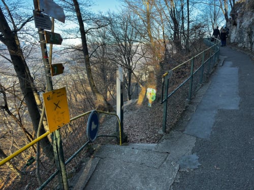
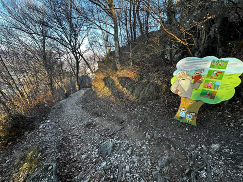
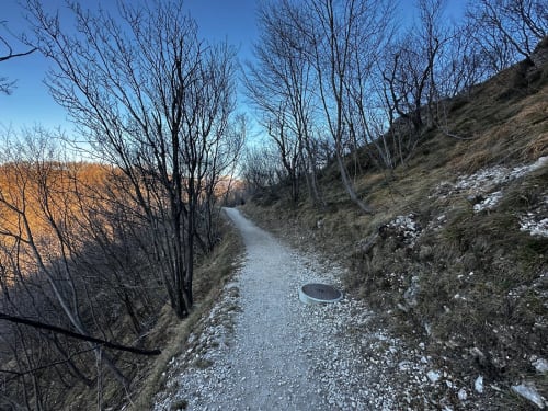
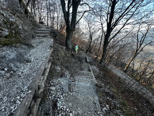
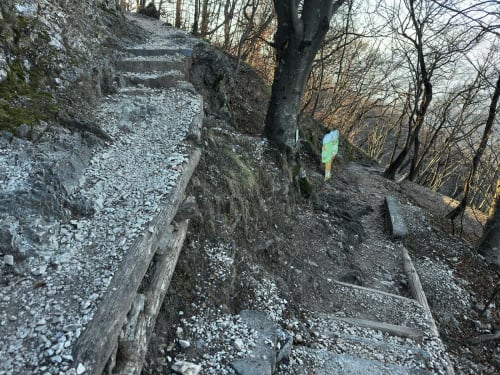
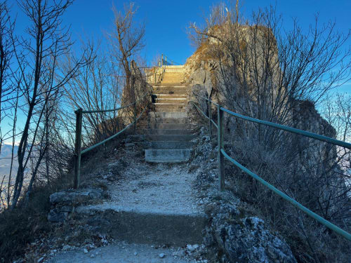
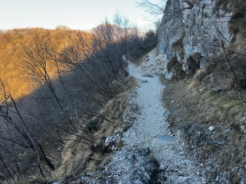
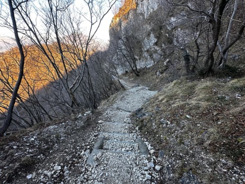
One of the most popular routes starts from the summit, the nature trail that descends along the slope towards Pazzallo and Paradiso. Along this route, there are fewer panoramic viewpoints than at the summit, but the walk still offers impressive views of the surrounding landscape. The descent takes about 1 hour and 50 minutes to Paradiso and is on stony ground, with steep sections and numerous uneven steps that make the route challenging even when going downhill. Sure-footedness and good footwear are therefore necessary. During the journey, you can stop at Pazzallo, a characteristic village, and then continue comfortably by Autopostale for the last stretch.
The excursion is enriched by elements of naturalistic and educational interest, such as the Bafalòn trail, designed to provide a simple and engaging introduction to the mountain, its fauna, its flora and the geological features of the area (ideal for families). For more experienced hikers, there is also the Monte San Salvatore via ferrata, which offers a more technical and adrenaline-filled experience.
Alternative trails also start from the summit, allowing you to explore the other side of the mountain. One route leads to Carona, passing through woods and more shaded areas, and can be continued to Morcote, a charming village overlooking the lake. This alternative route is longer and less scenic than the descent to Paradiso, but offers a more peaceful hiking experience surrounded by nature, connecting San Salvatore to charming historic and lakeside villages.
A hike to Monte San Salvatore is therefore a complete experience, combining sweeping views, a variety of itineraries and direct contact with the territory, adapting to different levels of fitness and different ways of experiencing the mountains.
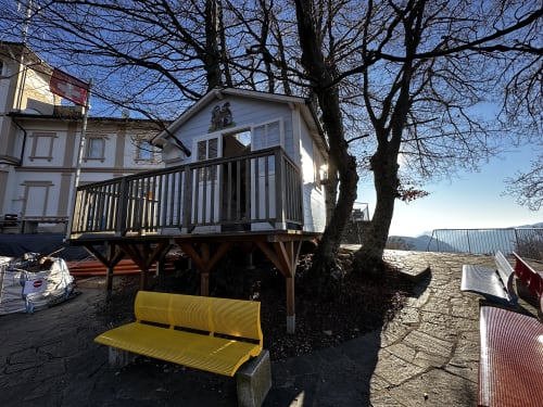
There is also a restaurant at the summit where you can enjoy a meal with a view.
Itinerary
- San Salvatore summit (912m)
- Ciona (610m)
- Pazzallo, village (448m)
- Paradiso (282m)
Route length (with detours to scenic spots): approximately 6km
Duration: 1h50
Elevation difference: -632m
Difficulty: T2 - Well-marked trail but with uneven descents and steep sections
Alternative
Route
- San Salvatore peak (912m)
- Ciona (610m)
- Carona (approx. 550m)
- Alpe Vicania (550m)
- Church of Santa Maria del Sasso (330m)
- Morcote, lake (282m)
Route length: approx. 10km
Duration: approx. 3h
Elevation gain: +230m / -840m
Difficulty: T2 - Moderate hiking trail, suitable for hikers with basic experience. Some steep sections at the beginning and ‘steps’ downhill in the final part between Alpe Vicania and Morcote.

In evidence
Location


Other details
Warnings:


