
Monte Tamaro MTB
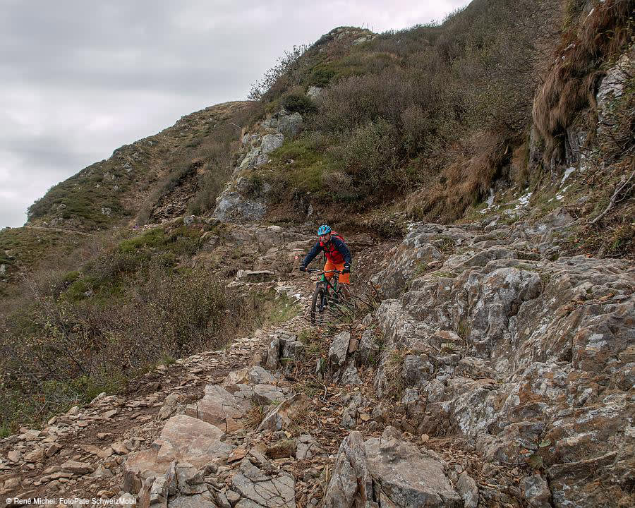
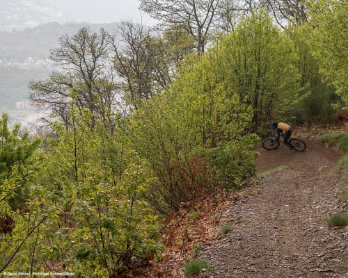
Technically difficult circular route through woods and past mountain huts, passing by Alpe Foppa and Capanna Tamaro
Details
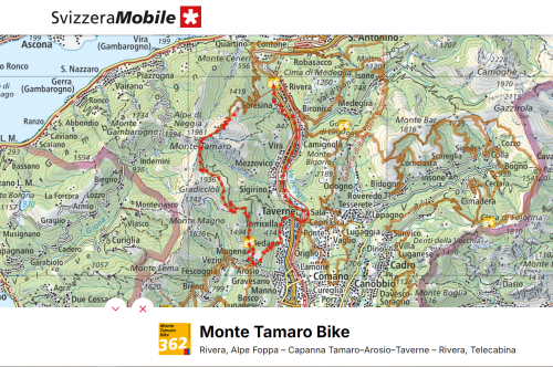
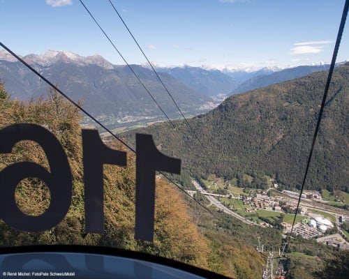
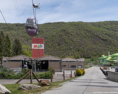
The route starts from Alpe Foppa, easily reached by the Monte Tamaro cable car from Rivera. Here it is worth visiting the church of Santa Maria degli Angeli, designed by the famous architect Mario Botta, while the main rooms were painted by the Italian painter Enzo Cucchi.
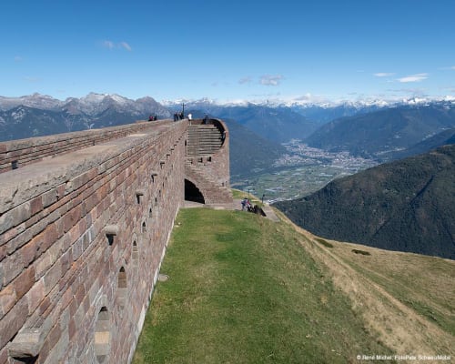
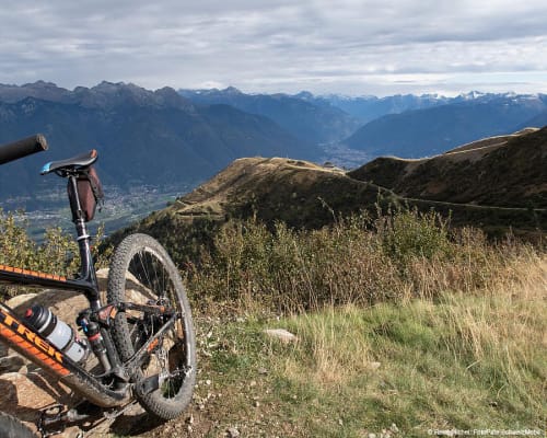
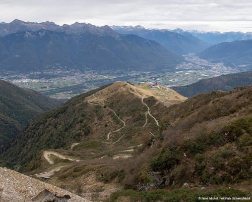
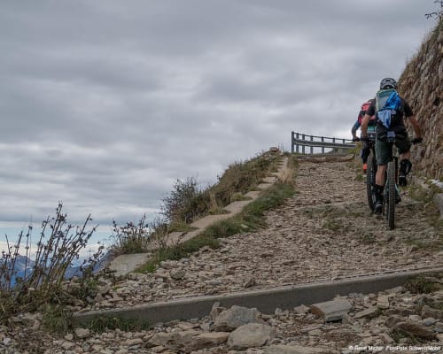
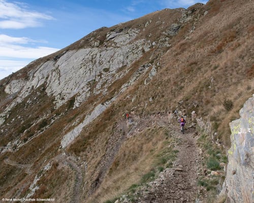
The energy saved by taking the cable car to the starting point is now needed for the first steep climb along a dirt track. Along the way, you can admire an impressive view over the entire region, stretching from the Po Valley to the Valais Alps. After climbing 330 metres, you reach the halfway point at the large antenna of the Capanna Tamaro, which is open to the public and offers a magnificent 360° view of the valley floor, Bellinzona to the north and Lugano and Lake Ceresio to the south. To the west you can see Lake Maggiore, dominated by Locarno and its delta. Here you can recover your strength for the next long single trail, which is technically challenging.
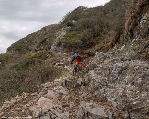
A difficult traverse first leads to the junction just before Monte Tamaro and then to the hairpin bends that lead to Bassa di Indemini. This section is also quite demanding. The trail enters the forest: the further you go, the smoother the route becomes. After Alpe Canigiolo there is a splendid high-altitude path that follows the slope towards Alpe Torricella. Continuing through the forest you reach Arosio, which is part of Alto Malcantone. The Roman road led from Ponte Tresa to Monte Ceneri through this town. Here it is worth visiting the church of San Michele with its wall paintings.
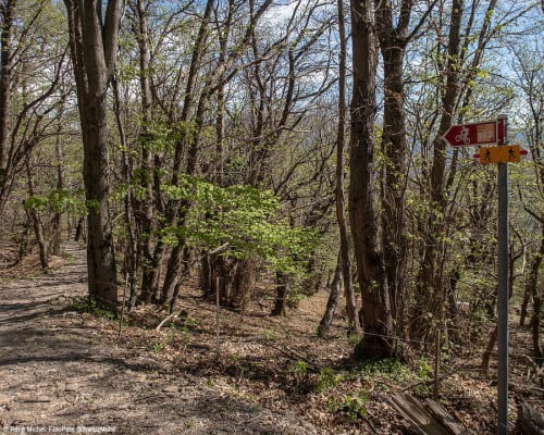
A rewarding single trail through the woods follows, and after a few bends it arrives at Bedano, at the bottom of the valley. Here, in some places, the mountain bike has to be pushed.
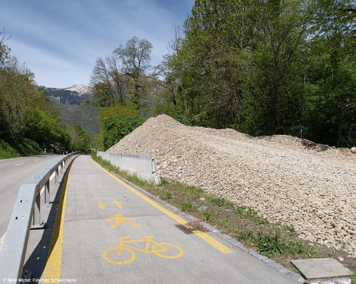
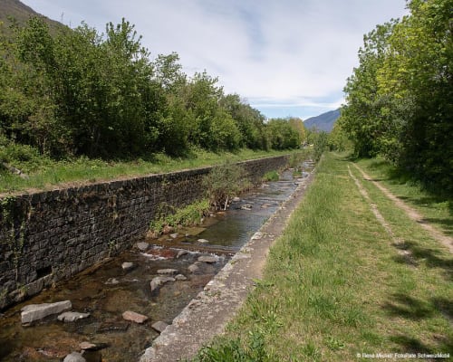
The return route winds through some characteristic old towns. In Torricella, cyclists cross a bridge over the A2 motorway. Near Taverne the route reaches the Vedeggio river, which it follows until a junction, and then proceeds towards Mezzovico. In this short stretch you find yourself between the motorway and the railway line. But only for a short time: afterwards, the route continues slightly uphill to the hamlets of Capidogno and Soresina, where you can visit the oratory of Santa Maria delle Grazie and an old mill with a museum. Or how about some wellness after this challenging itinerary? The Splash & Spa Tamaro is located right at the end of the route.
The route is also suitable for trail running.
Itinerary
- Alpe Foppa (cable car arrival station)
- Capanna Tamaro
- Monte Tamaro
- Bassi di Indemini
- Alpe Canigiolo
- Alpe Torricella
- Arosio
- Bedano
- Taverne-Torricella
- Mezzovico
- Capidogno
- Soresina
- Rivera (cable car departure station)
Route length
- 32km
Roads and Trails
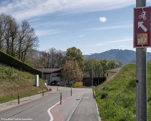
- Asphalt - 10km
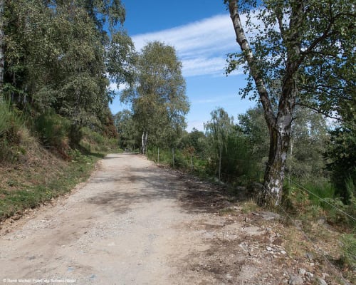
- Natural Pavement - 12km
- Single Trail - 10km
Difference in Altitude
- 740m uphill
- 1800m downhill
Altitude
- Maximum 1890m
- Minimum 346m
More information
Location


Other details
Warnings:
Electric mobility:
In partnership with:


