
Monti Motti Bike
A challenging enduro trail through woods, stone-built villages and views of Lake Maggiore
Details
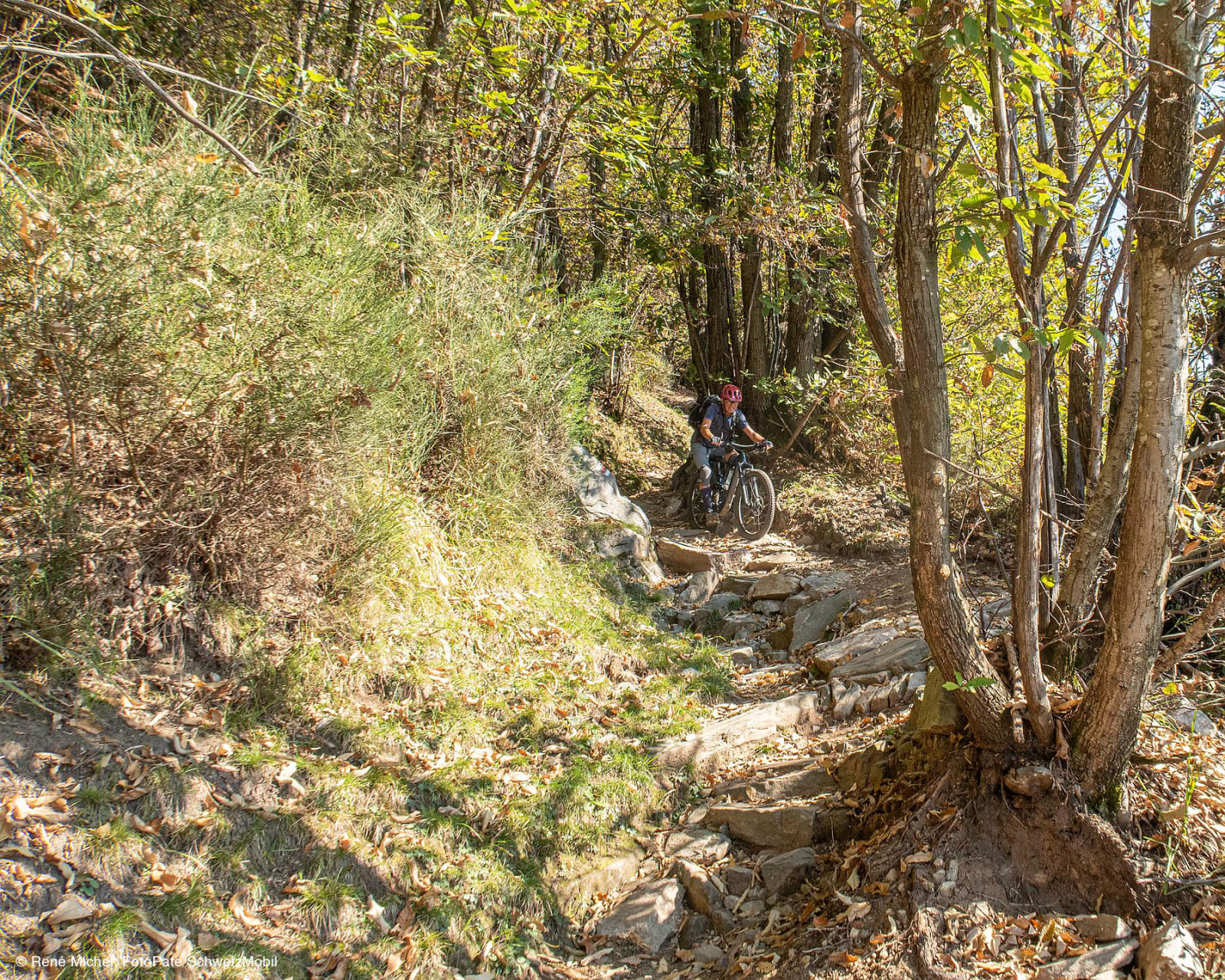
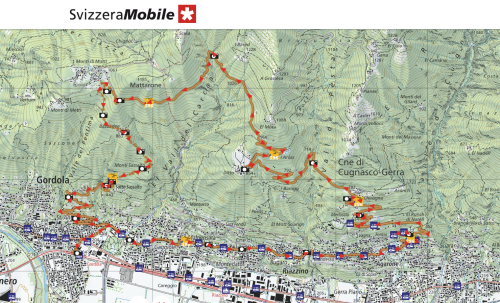
The Monti Motti Bike is a mountain bike route of around 20 km that combines a long climb along a forest track and tarmac road with a descent along a technical single track, created by the redevelopment of a historic hiking trail above Gordola.
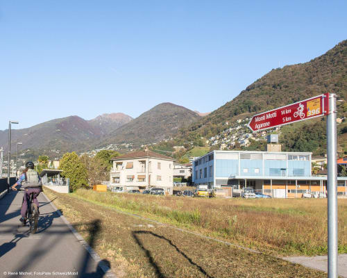
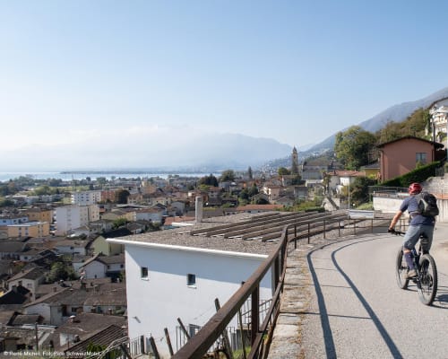
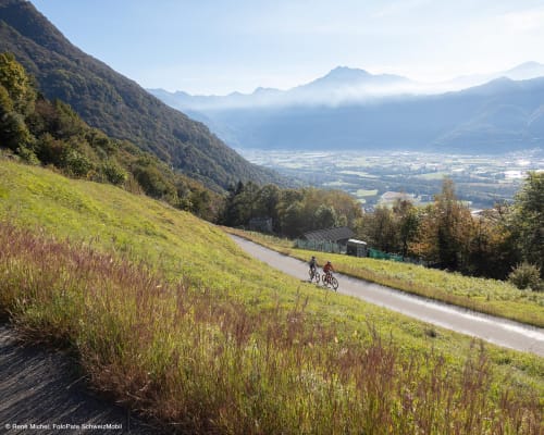
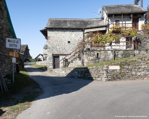
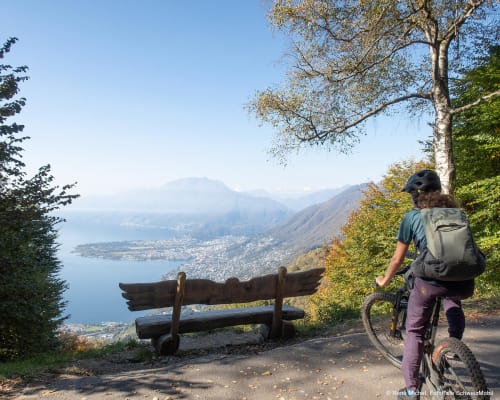
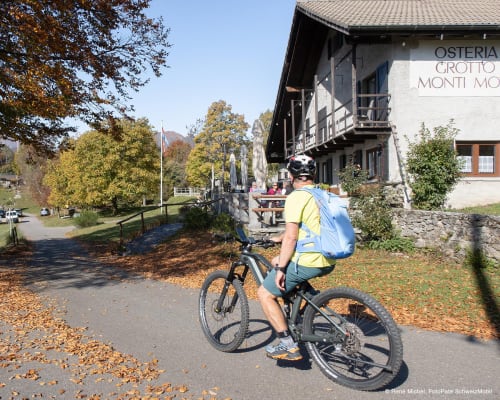
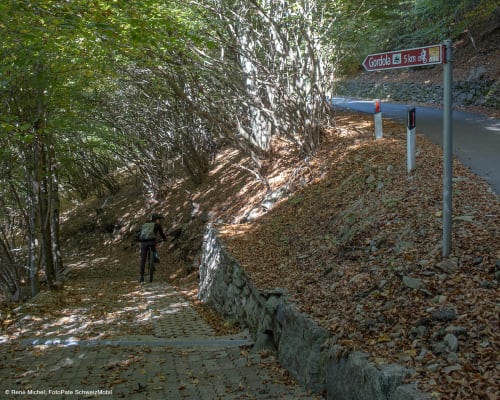
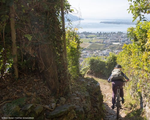
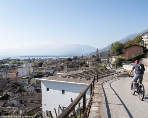
The circular route starts from Gordola railway station. The first part of the route leads up to the Monti di Motti via a climb of around 14 km with an elevation gain of 800 metres, which runs mainly through woodland and offers glimpses of Lake Maggiore at various points. Along the way, you’ll come across small, picturesque hamlets such as Ditto, with its stone houses and the panoramic view that opens up near the church. Once you reach the Monti di Motti, you can stop off at the grotto or enjoy the view from a splendid bench overlooking the lake.
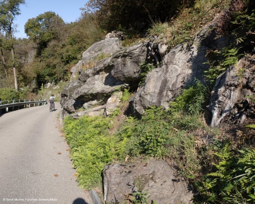
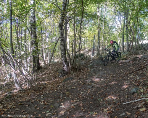
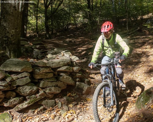
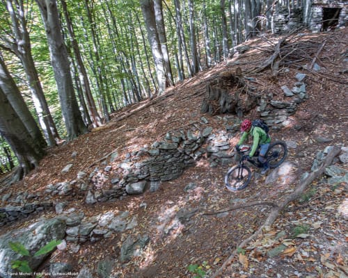
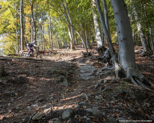
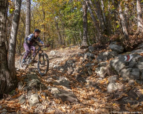
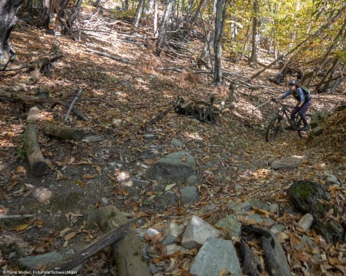
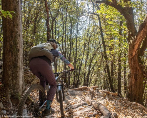
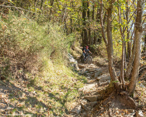
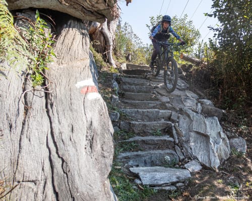
From the Monti di Motti, the descent begins, following a technical single track that alternates between fast-flowing sections and more challenging passages. The route includes rocks, steps, banked bends and several sections that require precise riding and good control of the bike. Due to these characteristics, it is classified as difficult and is recommended for cyclists with experience on technical terrain, particularly enduro enthusiasts.
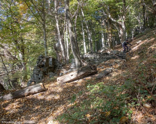
Halfway down the descent, you come to the hamlet of Bazzadee, a small village made up of traditional stone buildings overlooking Lake Maggiore. Its panoramic setting and historical context make it one of the most distinctive stops on the route.
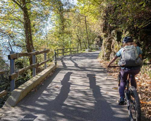
The Monti Motti Bike project revitalises an ancient hiking trail through work carried out entirely by hand using locally sourced materials. The rocky sections have been repositioned, the steps remodelled and the route optimised to facilitate a smooth ride whilst respecting the natural environment and the trail’s original character.
Particular attention has also been paid to ensuring that cyclists and walkers can share the route harmoniously. In several places, the historic stairways have been preserved and refurbished for those walking the trail, whilst dedicated cycle paths have been created. The result is a route that combines the enhancement of the trail heritage with a dedicated mountain-bike route, in the spirit of sustainability and mutual respect amongst users of the hiking network.
Gordola is easily accessible by both car and train. Parking is available near the FFS station.
Route
- Gordola (203m)
- Agarone (approx. 430m)
- Ditto/ Monti di Ditto (approx. 850m)
- Monti di Motti (1050m)
- Bazzadee (approx. 720m)
- Sotto Sassalto (approx. 450m)
- Gordola
Route length
- 20km
Roads and paths
- Tarmac – 17km
- Natural surface – 0km
- Single track – 3km
Elevation gain
- 900m uphill
- 900m downhill
Altitude
- Maximum 1,050m
- Minimum 203m
Further information
In evidence
Location


Other details
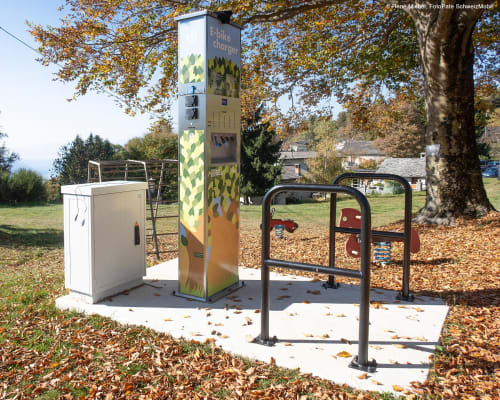
Stazioni di ricarica per e-bike:
In partnership with:


