
Origlio MTB
An undemanding naturalistic and cultural itinerary accessible to all, passing by the Origlio lake
Details
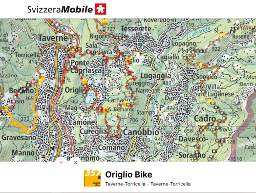
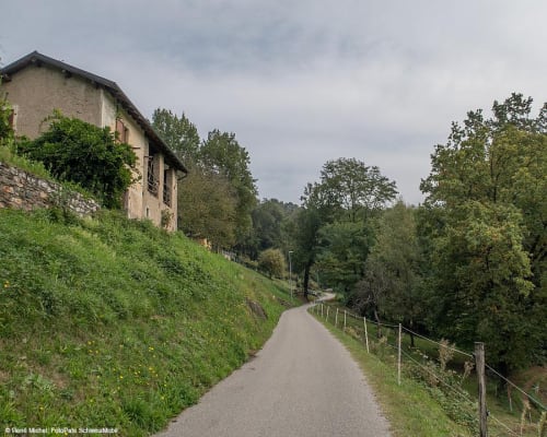
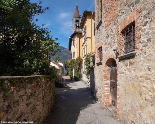
From Taverne, going up towards Capriasca, you mostly follow a road that crosses a suburban area with little traffic and in any case surrounded by greenery. In the centre of Ponte Capriasca, a few dozen metres from the mountain bike trail, there is the Church of Sant'Ambrogio, inside which there is a copy of ‘The Last Supper’, the famous mural painting by Leonardo da Vinci. A short climb, a stretch of dirt road through the fields and you reach Tesserete. In the spring and summer months you can stop at the fantastic outdoor swimming pool, immersed in the nature of Tesserete where you can also visit the Church of Santo Stefano.
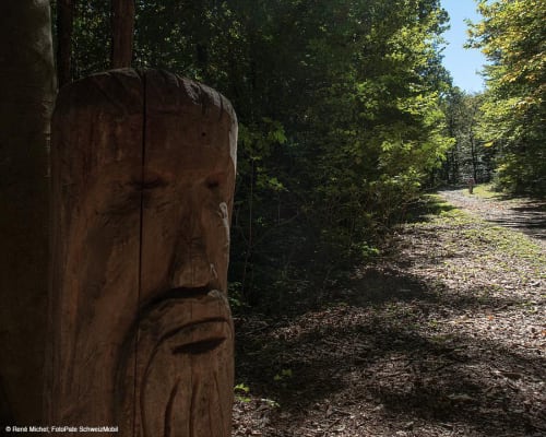
From Tesserete, the main town in the Capriasca region, we head towards Vaglio through the woods, passing the ‘Alla Fonte’ farm, which has an herb garden.
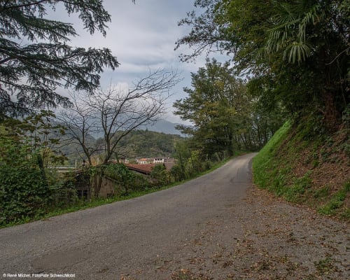
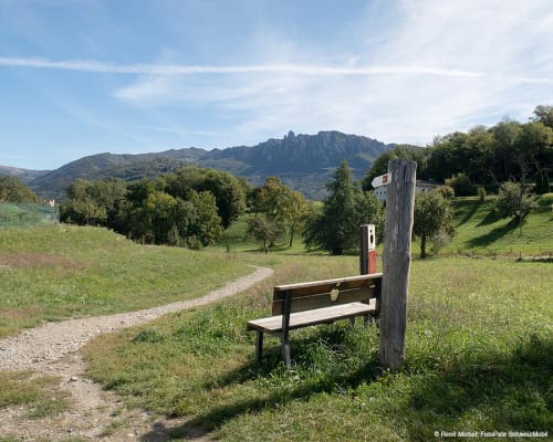
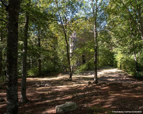
Between Vaglio and Comano you mainly follow dirt roads surrounded by greenery. Halfway along this stretch you'll find the Oratory of San Clemente and the Tower of Redde, an ancient restored medieval tower that also includes traces of some remains of dwellings from that period.
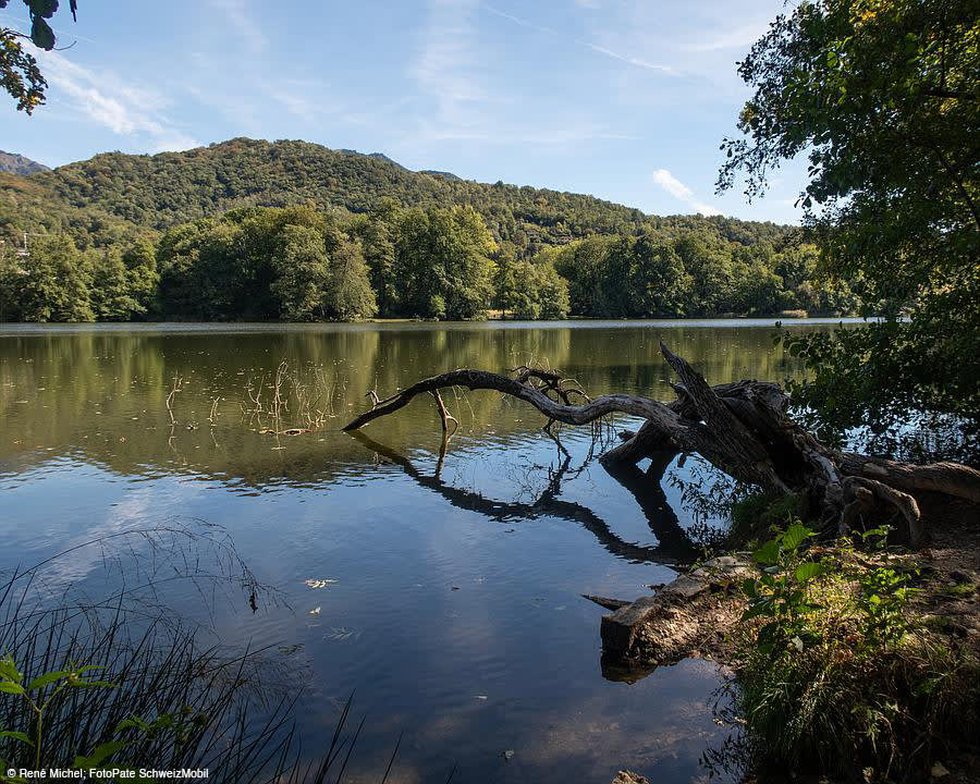
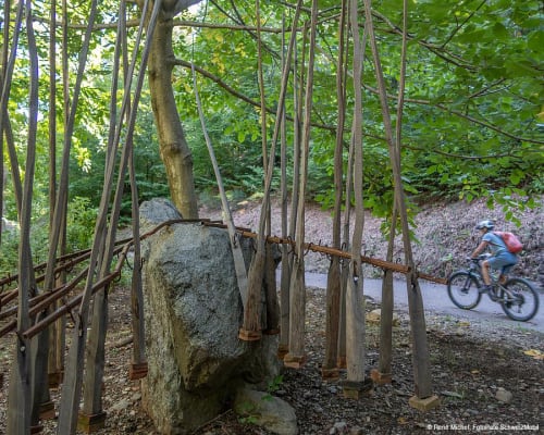
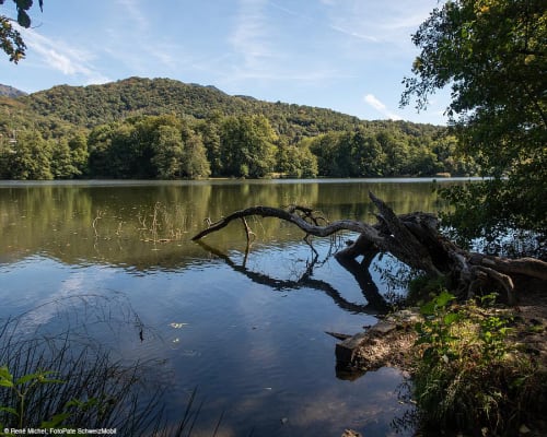
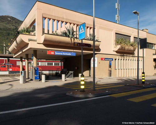
You cross the town of Comano and then head towards Origlio. Once you reach the charming protected lake of Origlio, follow the path and the dirt road that border it. From here you reach the Church of San Giorgio, located in an elevated position with respect to the village, allowing you to have a pleasant view of the surrounding area. A single trail to Taverne concludes the route, leading to the train station.
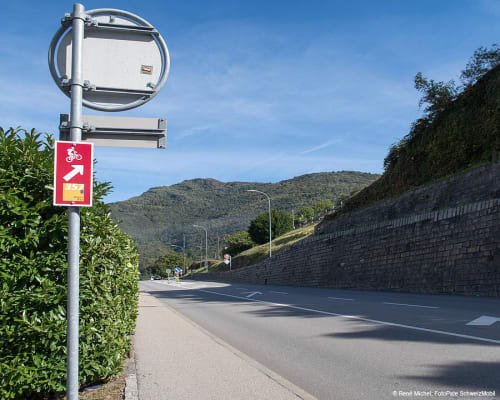
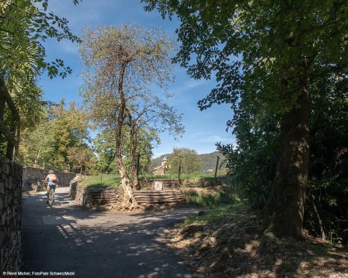
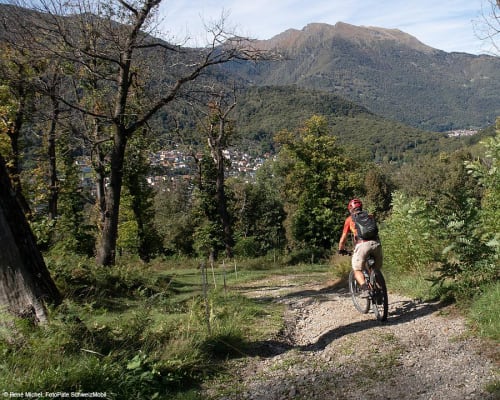
The route is mainly on roads with little traffic: half of it is unpaved and the rest is on the single trail between Origlio and Taverne railway station.
The route is also suitable for trail running.
Itinerary
- Taverne
- Capriasca bridge
- Tesserete
- Vaglio
- Comano
- Lake of Origlio
- Taverne
Route length
- 15km
Roads and paths
- Asphalt - 8km
- Natural surface - 4km
- Single trail - 3km
Difference in altitude
- 480m uphill
- 480m downhill
Altitude
- Maximum 656m
- Minimum 333m
More information
Location


Other details
Electric mobility:
In partnership with:


