
Educational trail: ‘The Water Trail’
Discover how water is turned into renewable energy in Ticino
Details
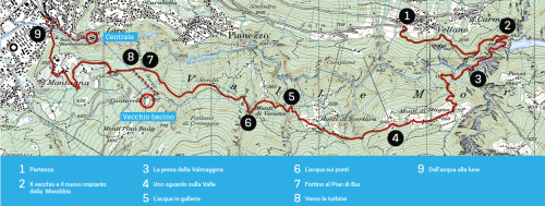
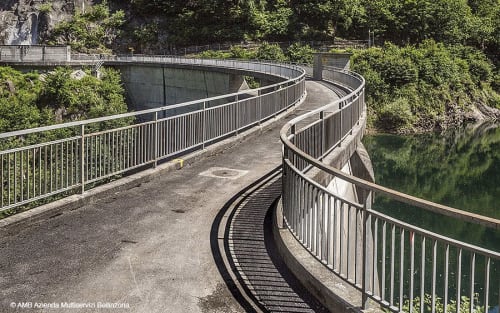
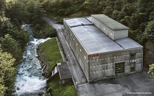
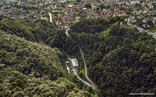
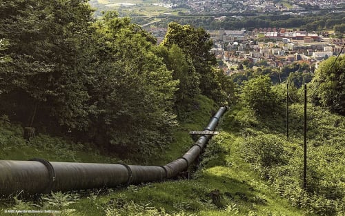
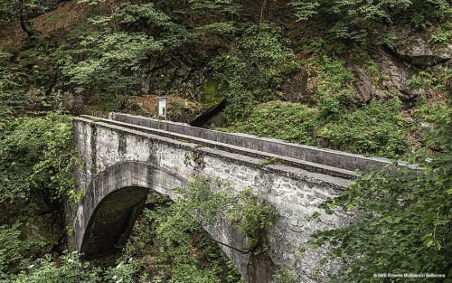
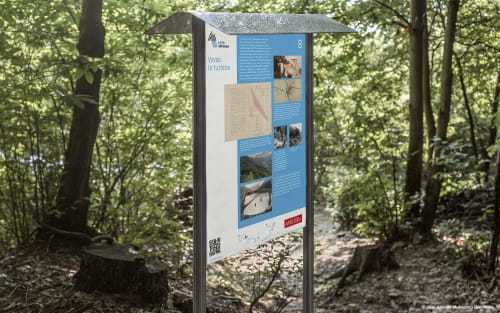
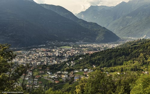
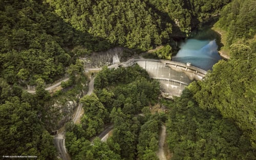
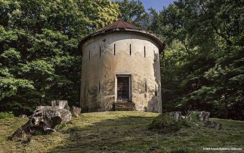
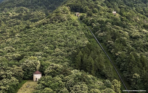
This fascinating route follows the journey of the water from the Carmena dam to the turbines of the Morobbia hydroelectric power station. Stretching for around 8 km and featuring nine information panels, the trail clearly explains how renewable energy is generated from water, taking in ancient structures, tunnels carved into the rock and splendid views of the Monti di Stagno and the Magadino Plain.
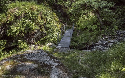
The route takes just over 3½ hours on paths suitable for everyone, with exposed sections that are well secured.
It starts on the outskirts of Vellano, a hamlet of S. Antonio, and ends in Giubiasco, following the water channelled from the dam through the tunnels to the power station.
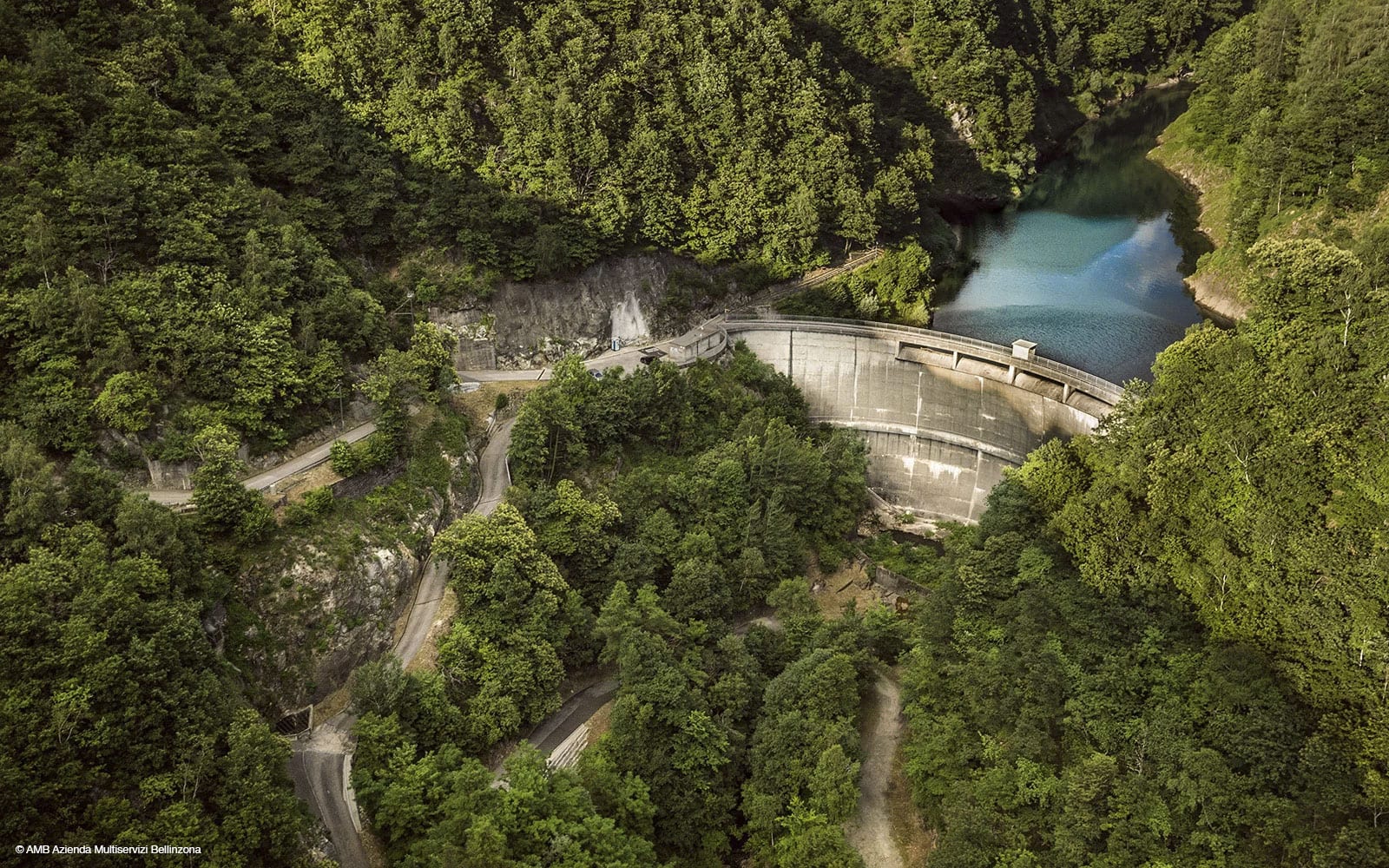
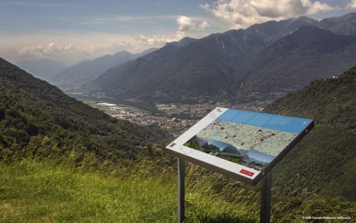
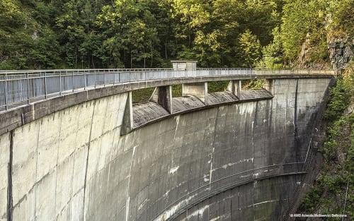
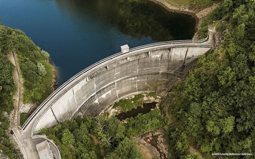
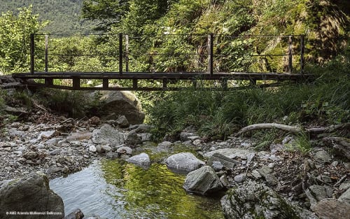
The route passes through chestnut and birch woods with glimpses of the River Morobbia and reaches the 39-metre-high Carmena dam. From here, you can see the entire production process, from the reservoir to the intake tunnels and on to the turbines. Along the river gorge, the route climbs towards the Monti di Stagno, where the view opens out onto the plain and the surrounding peaks, with the outline of Monte Rosa visible on clear days.
At stage seven, the Via dell’Acqua meets the route of the Fortini di Camorino, the so-called ‘Fortini della fame’ (Famine Forts) built in the 19th century to provide work for the Ticino population during a period of famine. The “Al Pian di Bur” fort is now an educational space dedicated to energy and the promotion of the local area, further enriching the experience.
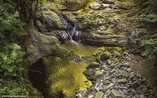
The Via dell’Acqua is a route that combines nature, history and engineering, accompanied by the roar of the river and the tranquillity of the woods. Perfect for families, curious visitors and lovers of themed hikes who want to discover the Bellinzona area from a different perspective.
To reach the start of the route, you can take the Giubiasco–Carena PostBus from the railway station or from Piazza Grande in Giubiasco and alight at the Vellano stop, then continue on foot towards the dam. By car, you can reach Vellano by following the Morobbia Valley road; in the village centre and along the road there are some free or paid public car parks, but spaces are limited, so it is advisable to arrive early or use public transport.
The route is accessible almost all year round, but is particularly beautiful in spring and autumn when the woods are ablaze with colour and the river level is striking.
Route
- Vellano
- Carmena Dam
- Monti di Stagno
- Ponte Vecchio
- Giubiasco - Morobbia hydroelectric power station
Route length: approx. 8km
Duration: 3h30
Difficulty: T2 - The terrain requires sure-footedness and suitable clothing. There are exposed sections, but these are secured
Signposting: The route is marked in red and white and features specific signposts
Elevation gain: approx. 350–400m uphill and 750–800m downhill
In evidence
Location


Other details
Visit to the Giubiasco power station:
More information:
In collaboration with:


