
Rivera – Miglieglia
From the gruelling climb up Monte Tamaro to the flowing trails of Malcantone through woods and hills
Details
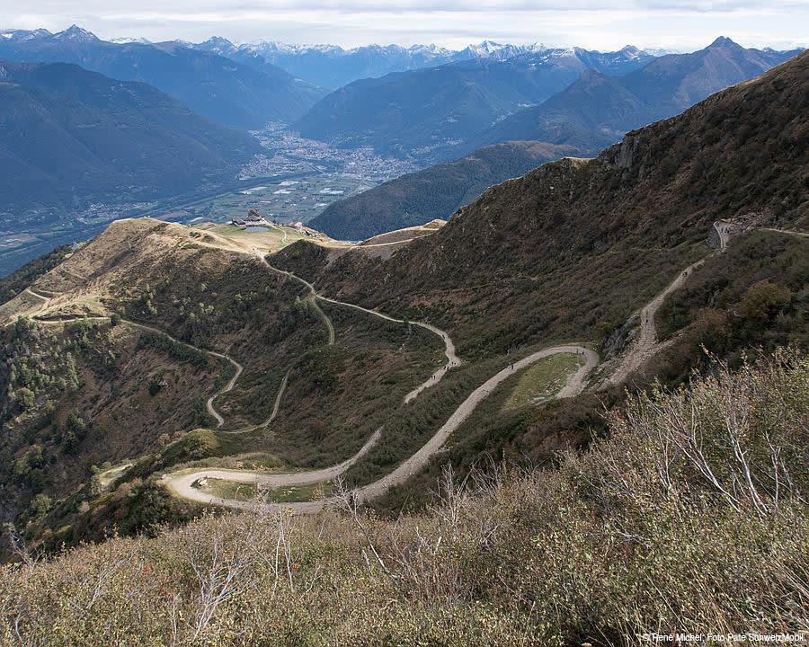
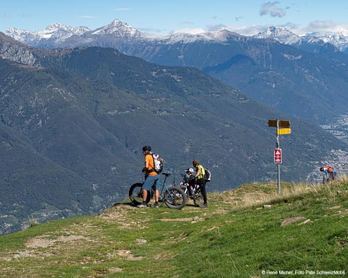
The Rivera–Miglieglia route is a challenging and comprehensive stage, dominated by the climb up Monte Tamaro, one of the great classics of mountain biking in Ticino. Right from the start in Rivera, you’re immediately thrown into the thick of it, tackling the long, steep climb to Alpe Foppa entirely in the saddle, along a road that offers little respite and demands a steady pace and stamina. The elevation gain builds up quickly and the effort is constant, but this is rewarded by increasingly sweeping views as you gain altitude.
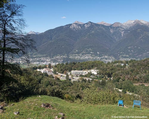
Once you reach the Alpe Foppa area, a stop at the church of Santa Maria degli Angeli, designed by Mario Botta, allows you to appreciate one of the region’s most striking panoramas, with a view stretching across the Magadino Plain, over Locarno and Bellinzona, and as far as the ridges tackled in the previous days.
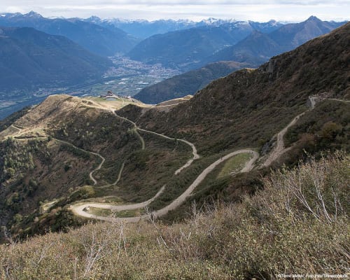
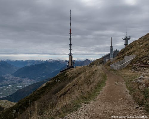
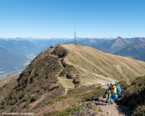
The climb, however, is not yet over: there remains one final challenging stretch on cobbled ground leading towards Capanna Tamaro and the summit antenna area, where the ascent is finally completed. It is here that the route changes character and gives way to fun, with the start of a long descent on a single track.
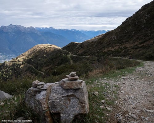
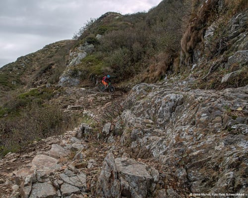
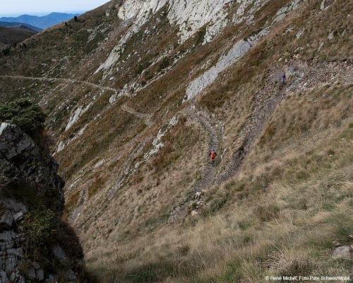
The trail initially descends on the north-facing slope of the mountain, with technical sections requiring attention, before gradually becoming smoother and more fluid. The route alternates between sections in the woods and more open stretches, maintaining a good pace throughout and offering a varied and engaging ride all the way to the Arosio area.
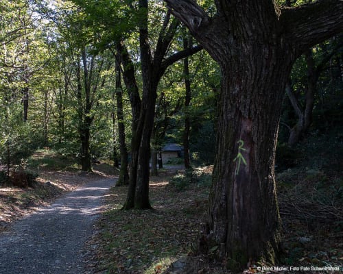
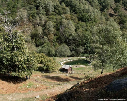
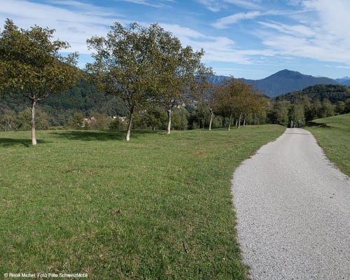
From here the landscape changes and you enter the heart of Malcantone, where the route continues with a constant undulation through hills, chestnut groves and small villages. The single tracks take centre stage once more, softer and smoother than in the upper section, yet always set within a very distinctive natural setting.
The arrival in Miglieglia, at the foot of Monte Lema, concludes an intense and rewarding stage, in which the long initial climb is rewarded by a varied and enjoyable descent and a landscape that gradually evolves from the alpine environment to the gentle hills of Malcantone.
This route forms part of the wider Traversata dei Monti Luganesi, a grand tour that crosses the entire region between lake, mountains and mountain pastures, extending as far as Malcantone.
Parking is available at the departure station of the Monte Tamaro cable car. On Alpe Foppa there is a restaurant where you can stop for a break, as well as toilets.
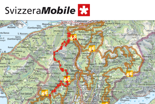
Route
- Rivera
- Monte Ceneri
- Alpe Foppa/Corte di Sopra
- Capanna Tamaro
- Alpe Canigiolo
- Alpe di Torricella
- Arosio
- Vezio
- Breno
- Miglieglia
Route length
- 39km
Roads and trails
- Asphalt – 13km
- Natural surface – 15km
- Single track – 11km
Elevation gain
- 1900m uphill
- 1700m downhill
Altitude
- Maximum 1890m
- Minimum 467m
Further information
In evidence
Location


Other details
Warnings:
In partnership with:


