
The ‘Water Reimagined’ Trail
Discover waterfalls, mills and stories of water in the heart of Malcantone
Details
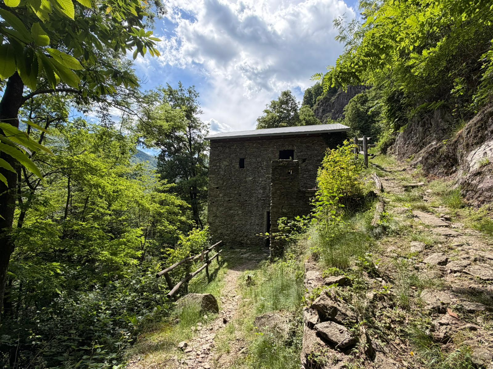
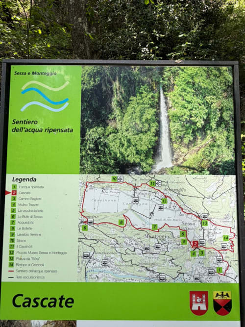
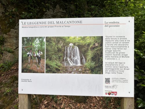
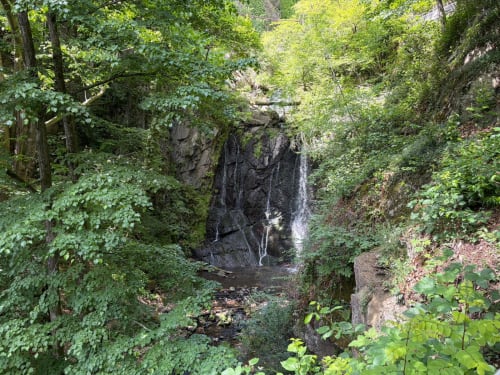
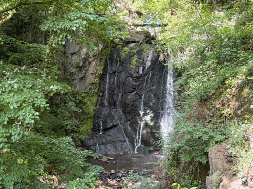
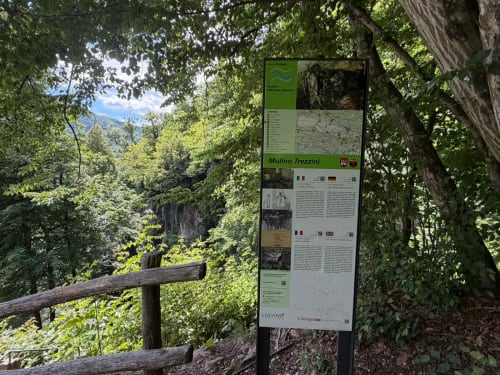
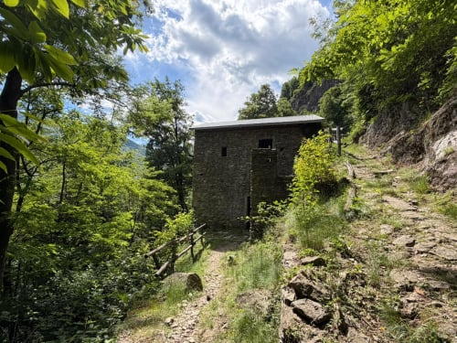
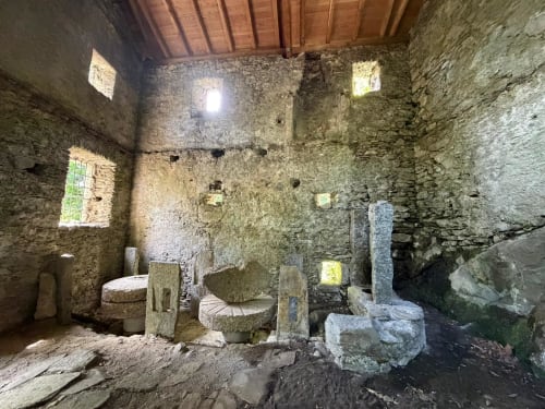
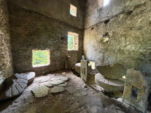
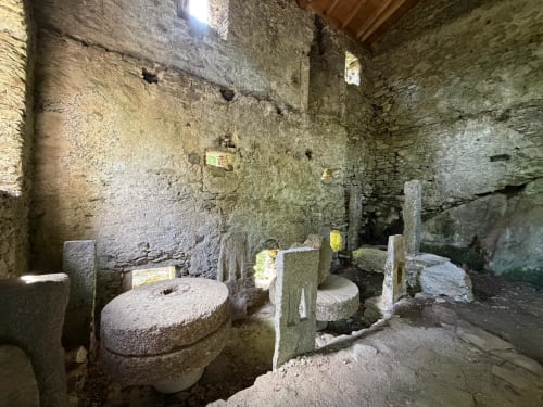
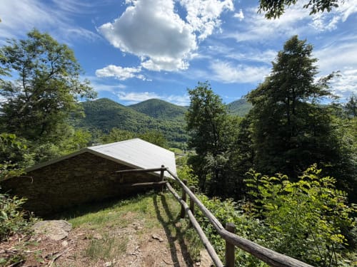
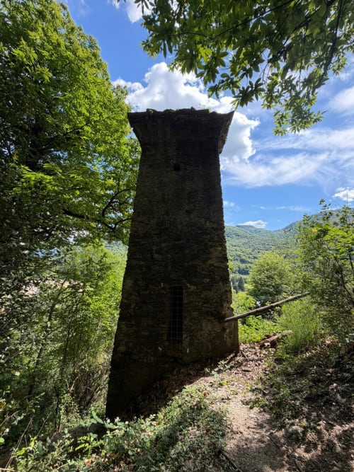
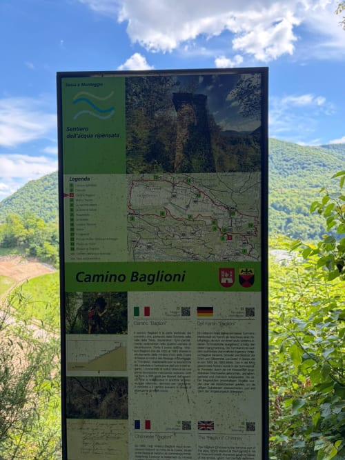
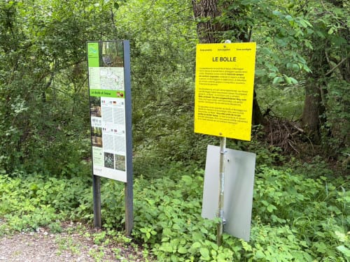
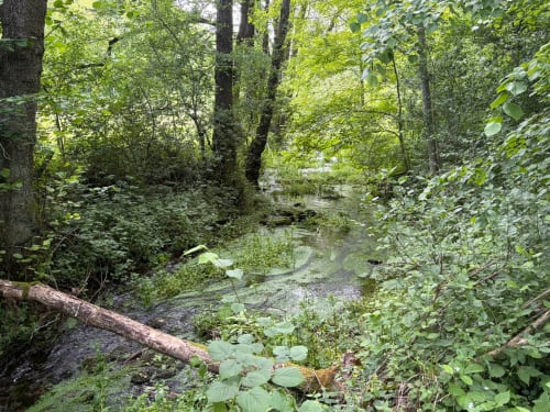
In the heart of Malcantone, amongst the woods of Sessa and Monteggio, the ‘Sentiero dell’acqua ripensata’ is a themed trail that combines nature, history and creativity. The route follows the course of the water and invites you to discover places full of charm, such as the picturesque Pevereggia Waterfall, the ancient Trezzini Mill and the Baglioni Chimney, a reminder of the era when gold was mined in this region. Along the trail, you’ll come across 14 information points with panels explaining the deep connection between water and the local area.
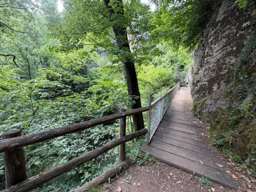
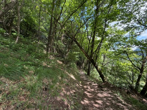
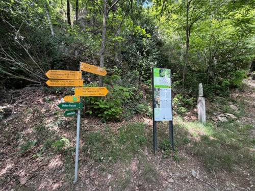
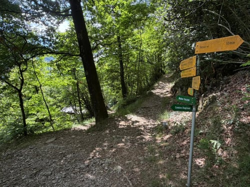
The route is suitable for families with children and for anyone looking for a peaceful walk surrounded by greenery. The route follows well-signposted paths and alternates between sections through the woods, scenic viewpoints and rest areas.
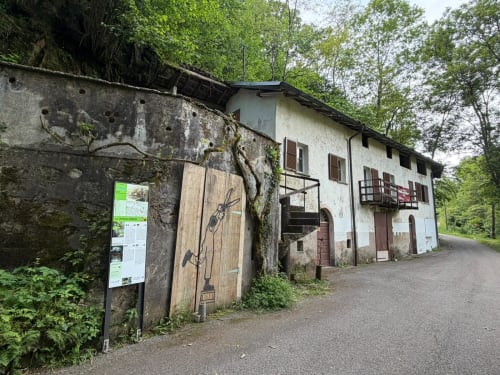
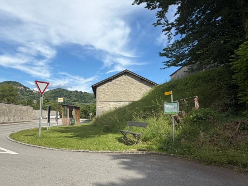
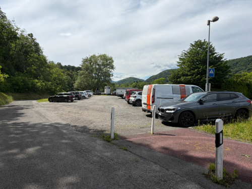
To reach the trail, you can set off from Sessa, which is easily accessible by car or public transport via the FLP train to Ponte Tresa and then by Autopostale. The recommended starting point is the car park next to the Autopostale stop ‘Sessa, Cimitero’. From here, you can easily reach the start of the route by following the signs (you start at marker 2 on the route, the one labelled ‘Cascate’).
There is also a convenient car park at this point.
The full route is approximately 9.5 km long and takes an average of 2 hours 50 minutes to walk. The elevation gain is moderate and the path is accessible for most of the year, with the ideal period being from spring to autumn. Hiking boots or comfortable footwear are recommended, especially after rainy days.
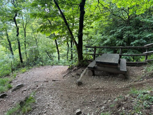
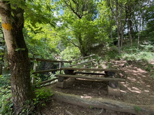
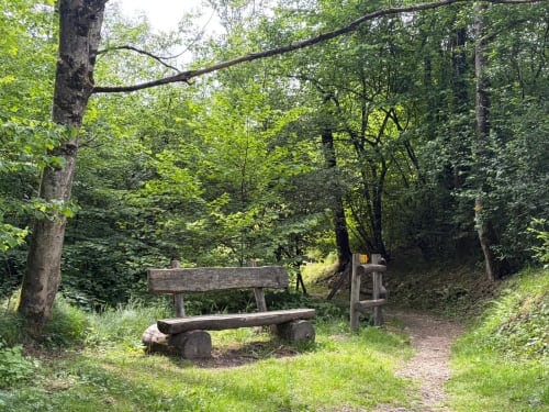
Near the Pevereggia waterfall, there is also a wooden table with benches where you can stop for a break or a picnic. About halfway along the route, near Termine, there is a playground nestled in the woods with play equipment made from chestnut wood.
The ‘Sentiero dell’Acqua Ripensata’ is a unique walk full of surprises, perfect for discovering the Malcantone region through waterfalls, historical sites and natural spots that tell the story of the past as you follow the flow of the water.
Stops along the route
- Water Reimagined
- Waterfalls
- Camino Baglioni
- Trezzini Mill
- The old dairy
- Le Bolle di Sessa
- Aqueduct
- Le Bollette
- Termine washhouse
- Sirane
- Il Cassinòtt
- Small Museum of Sessa and Monteggio
- Piazza da “Sóra”
- Grappoli Biotope
Route length
- 9.5km
Roads and Paths
- Path – 4km
- Tarmac – 2.6km
- Nature trail – 2.2km
- Road – 686 m
- Dirt track – 42 m
Elevation gain
- 272 m uphill
- 220 m downhill
Altitude
- Maximum 443 m
- Minimum 275 m
Download
In evidence
Location


Other details
Warnings:


