
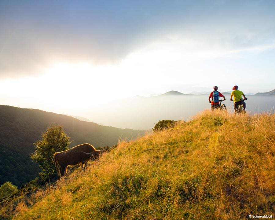
Val Colla MTB
An adventurous circular scenic route to a mountain plateau with surprising flora, fauna and geology.
Details
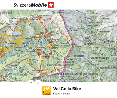
This is a mountain bike excursion that starts in Bogno from where, alternating between dirt and paved roads, you gently cross the valley floor, warming up your body.
The steepest part of the route, with a 340 metre climb, is the part that starts at Cimadera, crosses the wood and leads to the Pairolo Hut. From here you continue along a single trail, which is the last stretch through the wood, and then along a dirt road that leads to the Bocchetta di San Bernardo.
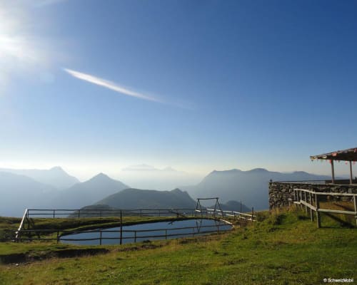
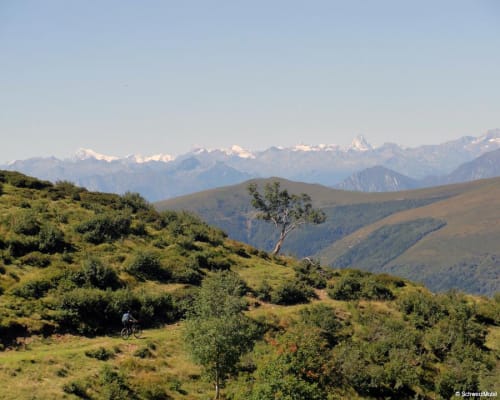
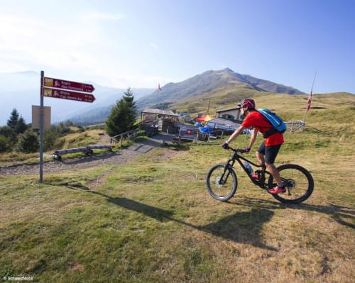
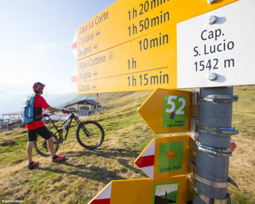
The Fojorina area is very unusual: in fact, many limestone rocks emerge from the ground. Follow the narrow road and keep to the left towards the Capanna di San Lucio where you can enjoy traditional cuisine, admire the view of the Val Colla and the nearby Italian valleys, and spend the night. Other accommodation facilities along the route are: the Alpe Cottino holiday farm, 5 minutes by bike from San Lucio, and the nearby Italian refuge. The view? Let yourself be surprised.
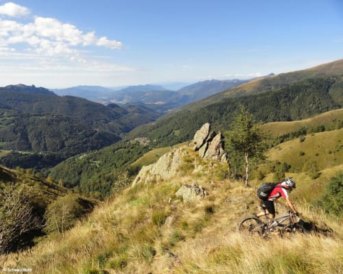
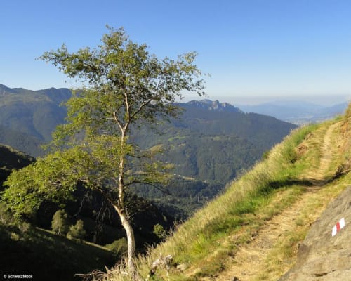
The 5.5 km single trail that connects San Lucio and Alpe Pietrarossa may make you think of a relatively flat route. This is only partially true: the first part of the route is characterised by an alternation of small descents and short climbs and small valleys with streams. Despite the uneven terrain, this part is very popular with hikers, thanks to the splendid view over the valley.
After Alpe Pietrarossa, where you can buy local products, the first 180 metres of altitude difference extend along a steep and technically difficult dirt road. Then you go to Barchi di Colla along a pleasantly dirt road and then return to Bogno along an asphalt road.
The route is also suitable for trail running.
Itinerary
- Bogno
- Piandera Paese
- Cimadera
- Pairolo Hut
- Cima alla Pianca
- Bocchetta di San Bernardo
- San Lucio Hut
- Alpe Pietrarossa
- Cozzo
- Bogno
Route length
- 28km
Roads and Trails
- Asphalt - 6km
- Natural surface - 11km
- Single Trail - 11km
Difference in altitude
- 1200m uphill
- 1200m downhill
Altitude
- Maximum 1596m
- Minimum 959m
More information
Location


Other details
Electric mobility:
In partnership with:


