
Ritzberg summit
Panoramic ascent from Bosco Gurin
Details
The hike to Ritzberg (2592m) is one of the most fascinating experiences you can have in the Bosco Gurin area.
This climb offers the perfect balance between accessibility and alpine adventure: a route rich in landscape variety, open views and an authentic atmosphere that tells the story and nature of the Vallemaggia.
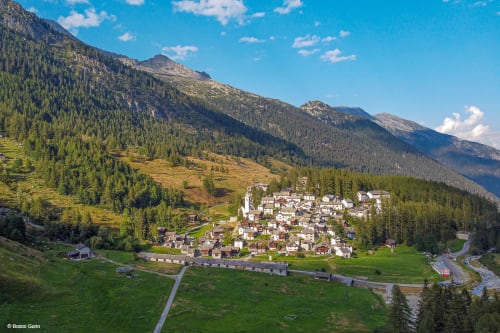
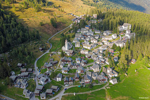
The classic route starts from the centre of Bosco Gurin, at an altitude of about 1500m. After crossing the village, the trail climbs the grassy slopes towards the Rossboda area, following well-marked paths that gradually lead out of the village and immerse the hiker in an increasingly open alpine environment.
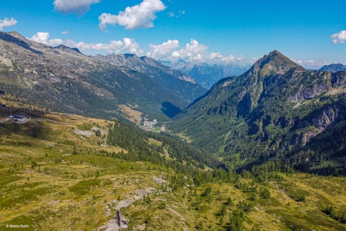
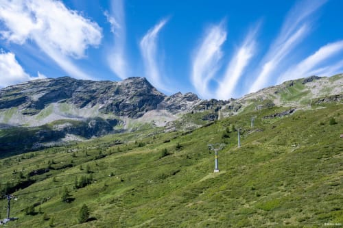
The first section crosses pastures and alpine meadows, with gentle slopes and wide views of the Bosco Gurin basin. Once you reach the Rossboda area, at around 2000m, the landscape changes character: the meadows give way to rockier terrain and panoramic ridges.
From Rossboda, continue along clear tracks that climb the upper slopes with increasingly steep gradients. The panorama gradually widens, offering views of the Maggia Valley and the surrounding peaks. The last section towards the summit of Ritzberg is rocky but not technical; it requires sure footing and caution, especially due to the gradient, but there are no exposed passages or climbing difficulties.
From the summit, at 2592m, you can enjoy spectacular 360-degree views of the Lepontine Alps, Vallemaggia and the mountains on the border between Ticino and Valais.
The descent follows the same route as the ascent. Alternatively, you can take a detour to the Grossalp hut, located just above 1900m, which is ideal for a break before returning to Bosco Gurin.
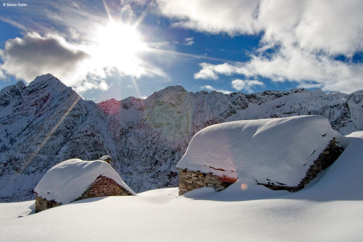
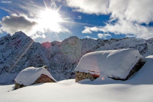
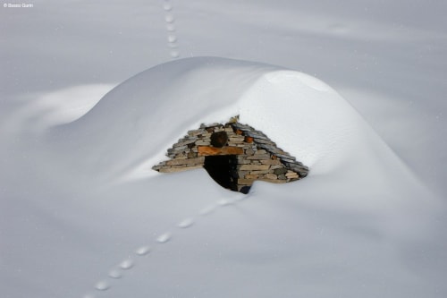
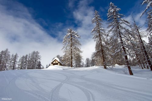
In winter, this excursion becomes pure poetry: the silent nature and snow-covered landscapes of the Bosco Valley enchant you step by step, amid wide white slopes and evocative alpine views. The ascent then gives way to an exciting descent in fresh snow, winding its way through sparse larch trees and ancient buildings of the past, offering an intense and memorable experience.
The hike has a total length of about 10km (round trip), with an elevation gain of about 1100m starting from Bosco Gurin. The average duration is 5-6 hours, including breaks.
Itinerary
- Bosco Gurin, Paese (1500m)
- Rossboda
- Ritzberg summit (2592m)
- Grossalp hut (1907m) - Optional detour
- Bosco Gurin, Paese (1500m)
Total length of route: approximately 10km
Duration: between 5 and 6 hours, depending on pace
Difficulty: T2/T3 - The route is classified as a medium hike and requires good familiarity with alpine terrain, especially in the final stretch towards the summit.
Elevation gain: approx. + 1100m
Alternative
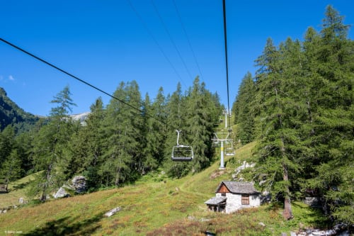
Those who wish to reduce the elevation gain can use the chairlift to Rossboda in the summer months, taking them directly to around 2000m and starting the hike from there. This reduces the elevation gain to approximately 600m and the walking time to 3-4 hours, making the route more accessible to less experienced hikers or families with children who are used to walking in the mountains, allowing them to focus on the most scenic part of the route.
In evidence
Location


Other details
Warnings:
In partnership with:


